Already registered ? Log in
Ninglinspo
Circuit Rahier La Charmille
Stavelot - pont sur l'Amblève

Car Free Style - From Gouvy to Aywaille

Credit : fb-com-frederic-thomsin-photographie

Get ready for a magical ecotourism stay
in the heart of the Ardenne
This itinerary will take you from the Luxembourg border to the Liège region, from the
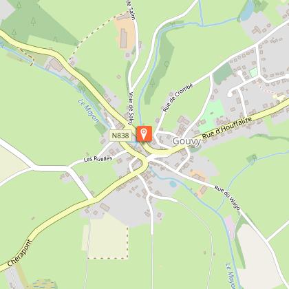
Salm Valley to the Amblève valley. Begin your adventure at Gouvy village located at the
extreme – northern tip of the Luxembourg region – a beautiful concoction of green landscapes,
forests and crystal clear rivers. It’s a wonderful area for nature lovers with eleven
bird life reserves in the region.
After leaving Gouvy, on foot, taking the GRP 571 you’ll quickly arrive at the Val de Salm,
a sub-basin of the Amblève. You will then pass by the pretty village of Salmchâteau which
takes part of its name to this small stream - the Salm. By bike after Gouvy, you then head
further east towards Saint-Vith to then join the Salm valley.
Then, whether you are on foot or by bike, you’ll discover Vielsalm, known for its geological
riches. With almost every step you will encounter rare rocks - unique in the world. Malachite,
ottrelite, ardennite, vantasselite, quartz crystals, turquoise..., even gold! There is also the
famous coticule which is used for « razor stones ». There’s even a museum dedicated to them.
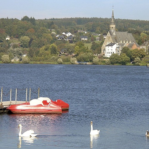
On foot, you’ll then reach Trois-Ponts with its magnificent view from the 16,65 metres high
Tour Leroux. After crossing Trois-Ponts, the Salm flows into the Amblève. On foot or by bike,
you’ll be blown away by this exceptional valley and its magnificent river. Its source is found
in this exceptional valley on the borders of the Hautes-Fagnes-Eifel Nature Park, digging its
deep bed in a valley with steep slopes. The Amblève flows from a height of 15 metres. Don’t
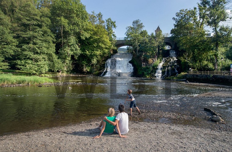
miss the Coo waterfall, a major site in Wallonia and the highest natural waterfall in Belgium.
This waterway truly is the gift that keeps on giving. It conceals a magical place called the
Fonds de Quarreux. A 1,5 km walk along the river reveals these mysterious rounded rocks
and the legends around this fantastic place. Further on, you’ll visit yet another natural gem:
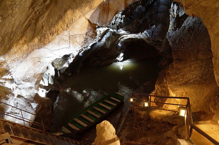
‘Les Grottes de Remouchamps’ (caves), where tourists can enjoy the longest underground
navigation in the world. A true spectacle before arriving in Aywaille, your final destination.

76 km
20 h
max. 571 m
min. 121 m
2172 m
-2508 m

Altimetric profile

Style : Roadtrip
Public : Experienced hikers

Starting point

6670 Gouvy
Lat : 50.19Lng : 5.95405
1 year
image utilisateur
/ 4 years / 0 m

2 Cherapont 6670 Guvy
Lat : 50.17696Lng : 5.927237
424 m
image utilisateur
/ 2 years / 0 m

1 Rue de la Grotte 6690 Vielsalm
Lat : 50.290204Lng : 5.915239
353 m
image utilisateur
/ 4 years / 0 m

31 Avenue de la Résistance 6698 Grand-Halleux
Lat : 50.331179Lng : 5.902082
304 m
image utilisateur
/ 85 d / 0 m

Stavelot Abbey: the perfect alliance of culture and adventure

The Stavelot Abbey, a Benedictine abbey funded in 651, is a fascinating...Read more

1 Cour de l’Abbaye 4970 Stavelot
Lat : 50.393419Lng : 5.931567
283 m
image utilisateur
/ 3 years / 0 m

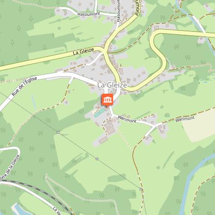
Historical Museum December 44

Focus on the events which occurred in the region of La Gleize and...Read more

52 Rue de l'Eglise 4987 Stoumont
Lat : 50.409953Lng : 5.846078
301 m
image utilisateur
/ 4 years / 0 m

52 Lombry 4920 Aywaille
Lat : 50.46743Lng : 5.735554
170 m
image utilisateur
/ 4 years / 0 m

48 Route de Remouchamps 4910 La Reid
Lat : 50.486642Lng : 5.757171
334 m
image utilisateur
/ 85 d / 0 m

The Caves of Remouchamps

The Caves of Remouchamps, a natural gem in the province of Liège,...Read more

Lat : 50.480052Lng : 5.712306
135 m
image utilisateur
/ 4 years / 0 m

20 Chemin de la Fosse 4902 Awan
Lat : 50.457918Lng : 5.659311
227 m
image utilisateur
/ 2 years / 0 m

Gîte rural Le Fenil

https://www.accueilchampetre.be/fr/content/fr/le-fenil-3694

9 Rue de l’Eglise 4140 Florzé
Lat : 50.488435Lng : 5.666379
254 m
image utilisateur

Courtil 30

Lat : 50.21645Lng : 5.91375
478 m
image utilisateur

2 Cosy 2

Lat : 50.18557Lng : 5.94019
444 m
image utilisateur

Brewery Lupulus

This brewery uses top quality ingredients to product this liquid gold,...Read more

Lat : 50.21444Lng : 5.91361
476 m
image utilisateur

2Cosy

Lat : 50.18557Lng : 5.94019
444 m
image utilisateur

La Chaulée

Lat : 50.186Lng : 5.93919
450 m
image utilisateur

Circuit treasures of the Salm Country

The "Treasures of the Land of Salm" walk takes you along a wild and...Read more

Lat : 50.26647Lng : 5.90318
382 m
image utilisateur

Whetstone Museum

For four centuries, there has been evidence of economic activity in...Read more

Lat : 50.26462Lng : 5.90585
392 m
image utilisateur

AVENATURE

In the green setting of the Belgian Ardenne (Vielsalm), Avenature...Read more

Lat : 50.2625Lng : 5.91874
510 m
image utilisateur

Ravel Vielsalm

From the town of the "macralles de Salm" to the Born viaduct with...Read more

Lat : 50.27874Lng : 5.90958
366 m
image utilisateur

Lac des Doyards

10 Avenue de la Salm 6690 Vielsalm
Lat : 50.284349Lng : 5.91176
354 m
image utilisateur

Discover the house of Salmland

This is not just a museum but a spectacular visit ; The "Maison du...Read more

Lat : 50.27945Lng : 5.91124
366 m
image utilisateur
/ 3 years / 0 m

Point de vue Gaston Starck

Après la tour Leroux, un autre point de vue sur la vallée...Read more

3 Parc de Saint-Jacques 4980 Trois-Ponts
Lat : 50.361924Lng : 5.865948
image utilisateur

This raised hide, 16.65 metres high, overlooks the Salm valley where...Read more

Lat : 50.36731Lng : 5.87897
390 m
image utilisateur

Fromagerie du baîrsou

Located on the heights of Trois-Ponts and Stavelot, the dairy offers...Read more

Lat : 50.36425Lng : 5.94804
463 m
image utilisateur

Val de Wanne

Possibility of several family activities à la carte, by reservation. Snacks...Read more

Lat : 50.3619Lng : 5.90515
465 m
image utilisateur

Golf Champêtre

Lat : 50.4064Lng : 5.80835
273 m
image utilisateur
/ 1 year / 0 m

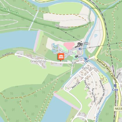
Plopsa Coo

Roller coaster, wild river log flume, funfair, playground, duck fishing,...Read more

Lat : 50.39337Lng : 5.87294
243 m
image utilisateur

Packraft rando

Lat : 50.28571Lng : 5.9172
377 m
image utilisateur

Aywaille adventure

Lat : 50.48089Lng : 5.70717
152 m
image utilisateur

Au Chat-Moineau

Lat : 50.46652Lng : 5.74033
130 m
image utilisateur
/ 10 d / 0 m

Totemus Treasure Hunt - Coo Power Plant

Discover the village, the lake and the hydroelectric power station...Read more

Lat : 50.39197Lng : 5.87589
240 m
image utilisateur
/ 4 years / 0 m

Coo Adventure - Outdoor Activities

Des activités sportives en extérieurs pour vivre des...Read more

Lat : 50.39195Lng : 5.875877
0 m
image utilisateur

K-Jol & Vous

Lat : 50.47059Lng : 5.67313
155 m
image utilisateur

Kayak Yourout

Lat : 50.46096Lng : 5.71296
130 m
image utilisateur
/ 1 year / 0 m

Lat : 50.391951Lng : 5.875878
236 m
image utilisateur
/ 1 year / 0 m

Lat : 50.397264Lng : 5.951113
290 m
image utilisateur

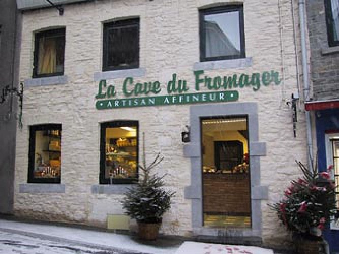
La Cave du fromager

Lat : 50.4735Lng : 5.67491
128 m
image utilisateur
/ 91 d / 0 m

The Brasserie de l'Elfique

In Aywaille, a village where many legends mention elves, the brasserie...Read more

2 Raborive 4920 Aywaille
Lat : 50.47985Lng : 5.641477
132 m
image utilisateur
/ 1 year / 0 m

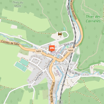
27 Rue du Rivage 6690 Salmchâteau
Lat : 50.266825Lng : 5.903956
376 m
image utilisateur
/ 1 year / 0 m

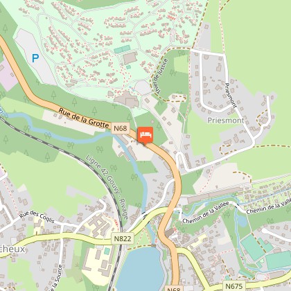
11 Rue de la Grotte 6690 Vielsalm
Lat : 50.291442Lng : 5.913389
349 m
image utilisateur
/ 1 year / 0 m

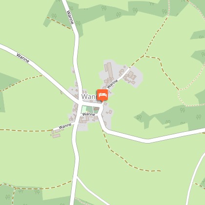
4 Wanne 4980 Trois-Ponts
Lat : 50.355411Lng : 5.922276
467 m
image utilisateur
/ 1 year / 0 m

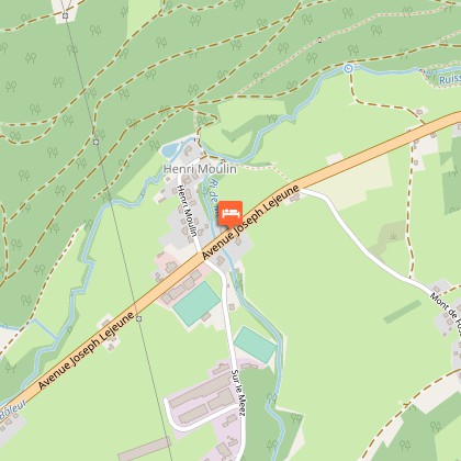
153 Avenue Joseph Lejeune 4980 Trois-Ponts
Lat : 50.367624Lng : 5.849481
296 m
image utilisateur
/ 1 year / 0 m

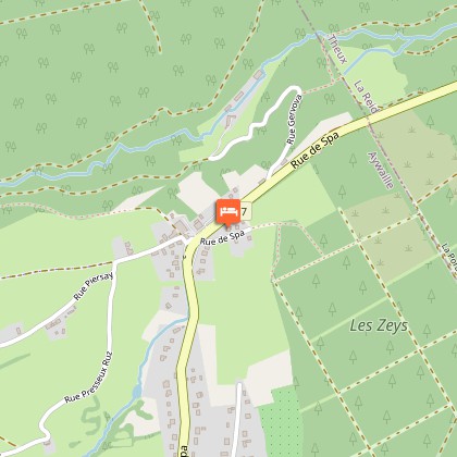
178 Rue de Spa 4920 Remouchamps
Lat : 50.482517Lng : 5.742943
307 m
image utilisateur
/ 1 year / 0 m

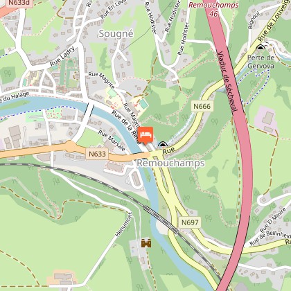
26 Rue de la Reffe 4920 Sougne-Remouchamps
Lat : 50.480161Lng : 5.71106
133 m
image utilisateur
/ 1 year / 0 m

4 Avenue de la Libération 4920 Aywaille
Lat : 50.476701Lng : 5.674779
128 m
image utilisateur
/ 1 year / 0 m

1 Square Philippe Gilbert 4920 Remouchamps
Lat : 50.484122Lng : 5.701036
139 m