Alert
Alerts
Cycling loop: Circuit de la Vallée Verte
Description
A moderately difficult route, with the ascent of the Col de Cou (1,117 m) rewarded with an uninterrupted descent of the Vallée Verte. If you set off from Thonon-les-Bains, you'll make the ascent of the Col de Terramont (1,090 m) and the Col de Saxel (943 m).
A medium-difficulty circuit with the ascent of the Col de Cou (1,117 m), rewarded by a complete descent of the Vallée Verte. If you leave from Thonon-les-Bains, you'll climb the Col de Terramont (1,090 m) and the Col de Saxel (943 m).
Departure point / TER: Annemasse or Thonon-les-Bains, parking de Crête
Length: 69 km or 66 km
Difficulty: red
Total ascent: 700 m or 840 m
Direction: clockwise
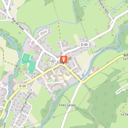
Landmarks and connections from Annemasse : Ville-la-Grand (joint start with Balcons d'Annemasse #26, Tour des Voirons #27 and Annemasse / Thonon-les-Bains link #23); Machilly (separation from Balcons d'Annemasse #26) ; Brens (separation from Annemasse / Thonon-les-Bains route no. 23); Bons-en-Chablais (separation from Tour des Voirons route no. 27); Boëge (joint return with Tour des Voirons route no. 27); Pont Morand (not-to-be-missed exit from départementale 20).
From Thonon: Armoy (separation from Circuit de Planbois n°50); Vailly / Sous-la-Côte (separation from Tour du Roc d'Enfer n°37); Habère-Poche (separation from Tour du mont d'Hermone n°29); Boëge; Draillant
TER stations: Machilly, Bons-en-Chablais
If the Vallée Verte is defined as the Menoge valley, then this itinerary from Annemasse will take you all the way from top to bottom in its second part. To reach the top of this magnificent landscape slide, you'll need to climb to the top of the Col de Cou, which isn't all that formidable. In fact, the average gradient from Draillant is less than 5% over the 10 km ascent. After the "crazy descent of the Vallée Verte", make sure you leave the D20 at the Pont Morand (right-turn sign) to finish in peace.
From Thonon, take the D26 and D22 up to the Col de Terramont. After Boëge and the Col de Saxel, don't forget to turn right at the third hairpin on the descent, to join the D35 and Cervens, then Draillant.
Technical Information
Altimetric profile
Starting point
Points of interest


Additional information
Updated by
Conseil Départemental de la Haute-Savoie - 12/05/2026
hautesavoiemontblanc-tourisme.com/
Report a problem
Open period
From 01/01 to 31/12.
Accessible outside of snowy periods depending on weather conditions. Contact the Tourist Office beforehand for information on current conditions.
Contact
Phone : 04 50 95 07 10
Email : ot@montsdugenevois.com
Website : https://hautesavoiemontblanc-tourisme.com/
Facebook : https://www.facebook.com/MontsduGenevois/
Location complements
Car Park: La Libération
Data author
