Alert
Alerts
LES CHENES DE LA GAROUILLE
Description
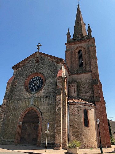
This route allows you to discover traditional rural dwellings, pretty houses, the Presbytery, the Saint Orens Church while you take in the views from varied vantage points.
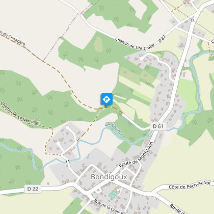
Set off towards Villemur on the D22 and the Presbytery, then turn right and then left towards Le Lavoir (picnic area).
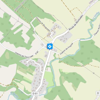
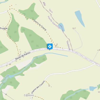
Then follow the directions: Le Jardin - Miquelou - St-Martin - le Pontil - Pisse-Guère - Layrac - Les Prés Hauts - Bondigoux / La Forge
Technical Information
Altimetric profile
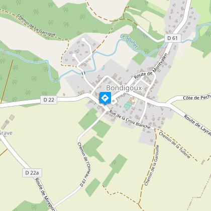
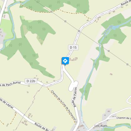
Starting point
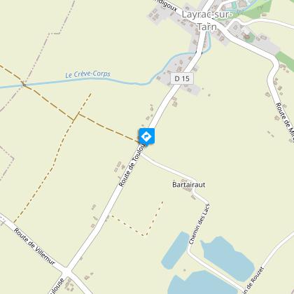
Points of interest

Additional information
Elevation gain
100 (Medium)
Start and end town
BONDIGOUX
Contact
Tel : 05 34 27 97 40
Email : office.tourisme@valaigo.fr
Data producer
Contact : HAUTE-GARONNE TOURISME / OFFICE DE TOURISME VAL'AÏGO
Phone : 05 34 27 97 40
This information comes from the Haute-Garonne Departmental Tourism Network and is synchronized as part of the partnership between Cirkwi and Haute-Garonne Tourisme.
Data author
