Alert
Alerts
Type of practice
Walking
Medium
3h30mn
Presentation
Description
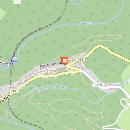
Map
Steps
Points of interest
Ratings and reviews
See around
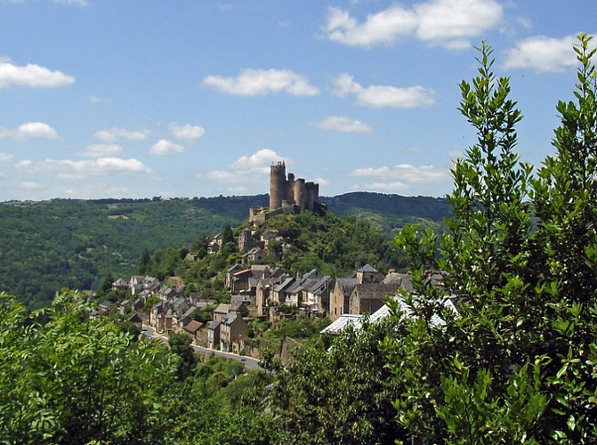
The Chestnut trees : walk around Najac n°6

Credit : Grands Sites Midi Pyrénées
Description
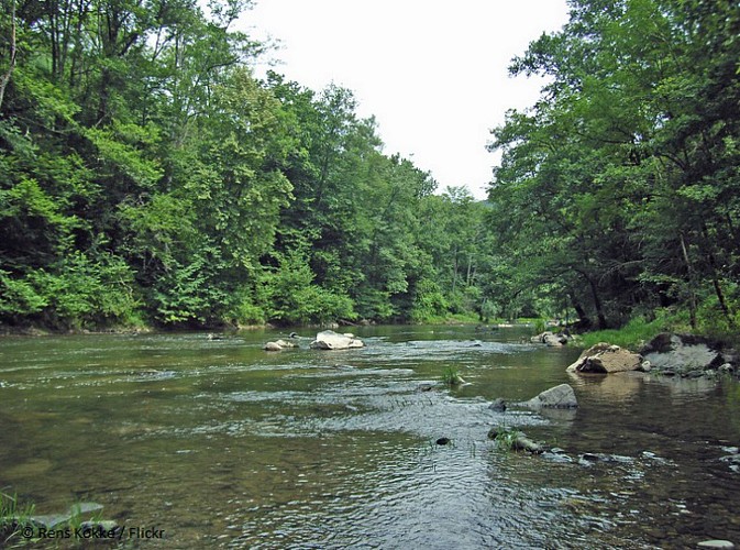
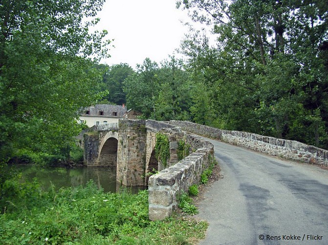
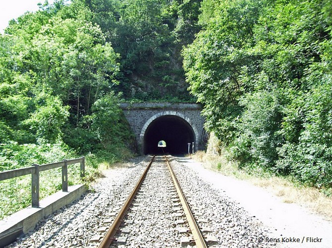
Nice footpath with varied landscapes. First part on the hills and trip back along the river Aveyron with shade, ideal place when the weather is warm. Several places of interest all along the tour. Start possible from the Holiday Village VAL-VVF.
The Chestnut tree was (with the rye) the basic foods for a long time. It saved a lot of inhabitants from the famine in times of scarcity.
Technical Information
Walking
Difficulty
Medium
Duration
3h30mn
(1d)
Dist.
12 km
Type of practice
Walking
Medium
3h30mn
Show more
Altimetric profile
Starting point
4
Rue de l'Adret
,
12270
Najac
Lat : 44.22081Lng : 1.98359
Steps


Points of interest

Data author

proposed by
Bastides et Gorges de l'Aveyron
Promenade du Guiraudet 12200 Villefranche de Rouergue France
Ratings and reviews
To see around