Alert
Alerts
Part 3
Description
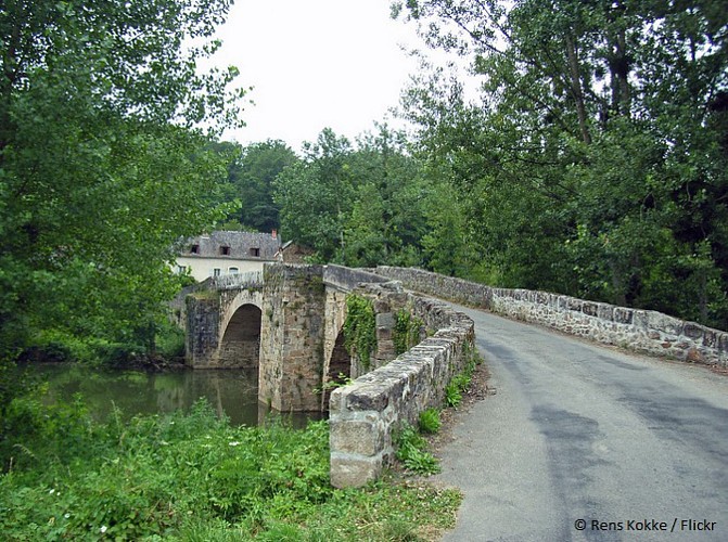
At the main road (D 594), turn on the left and cross the medieval bridge. Turn right on the road going along the river. [Junction possible with the tour n°3 if you continue straight ahead after the medieval bridge].
At the swimming pool, continue following the river on the path going to the main bridge (Pont de la Frégère). [Junction possible with the tours n°1 and n°2 if you turn left on the road and 30 meters after on the right on the small street going up].
Cross the bridge and go uphill on the old medieval path.
At the crossroads below the village, turn on the right.
In the street, turn on the left to pass in front of the chapel and continue straight on to get to the main square. [Junction possible with the tour n°4 if you continue after the main square on the street going to the Gendarmerie].
Technical Information
Altimetric profile
Data author
