Alert
Alerts
Type of practice
Walking
Easy
2h15mn
Presentation
Description
Map
Points of interest
Ratings and reviews
See around
Mount July
Description
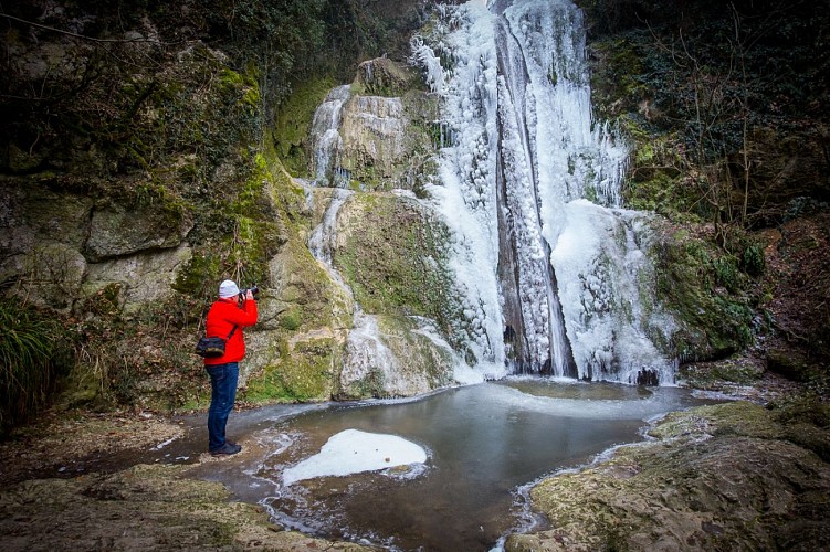
From Ceyzeriat, a short walk in the woods of Tréconnas.
Technical Information
Walking
Difficulty
Easy
Duration
2h15mn
Dist.
6.2 km
Type of practice
Walking
Easy
2h15mn
Show more
Altimetric profile
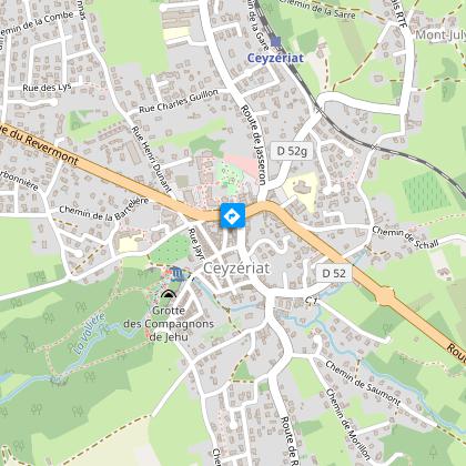
Starting point
Place de la mairie
,
01250
Ceyzériat
Lat : 46.179191Lng : 5.322255
Points of interest

Additional information
Updated by
Bourg-en-Bresse Destinations - Office de tourisme - 01/04/2026
www.bourgenbressedestinations.fr
Report a problem
Open period
All year round.
Contact
Phone : 04 74 22 49 40
Email : accueil@bourgenbressedestinations.fr
Website : https://www.bourgenbressedestinations.fr
Facebook : https://www.facebook.com/BourgenBresseTourisme
Data author

6 avenue Alsace Lorraine 01000 Bourg-en-Bresse France
Ratings and reviews
To see around