Alert
Alerts
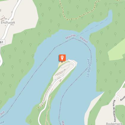
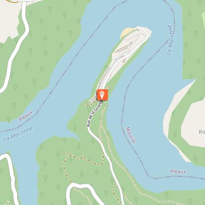
Mountain bike route - Banks of Lake Enchanet
Description
Mountain bike route "Banks of Lake Enchanet”.
The paper version of the hiking map is available from our Information Points for €0.50.
A pleasant trail that's generally easy going, with no major difficulties and plenty of views over the 13-km-long Lake Enchanet.
Starts from the Paradis La Gineste campsite.
The route is punctuated by steep, quiet, wooded banks all along the way, as well as sparse areas of countryside and plains. Along the way, you'll see a variety of architectural influences, reflecting the area's geographical location between the Xaintrie and Châtaigneraie regions.
Technical Information
Altimetric profile
Starting point
Points of interest
Additional information
Updated by
Office de Tourisme de la Châtaigneraie Cantalienne - 19/02/2026
www.chataigneraie-cantal.com
Report a problem
Open period
All year round.
Contact
Phone : 04 71 46 94 82
Email : info@chataigneraie-cantal.com
Website : https://chataigneraie-cantal.com
Facebook : https://www.facebook.com/otchataigneraie.cantal
Twitter : https://twitter.com/OTchataigneraie
Type of land
Ground
Hard coating (tar, cement, flooring)
Animals
Yes
