Alert
Alerts
St-Maxire - Entre vallées humides et sèches, un paysage de contrastes

Description
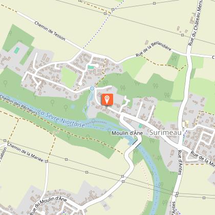
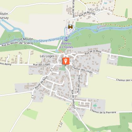
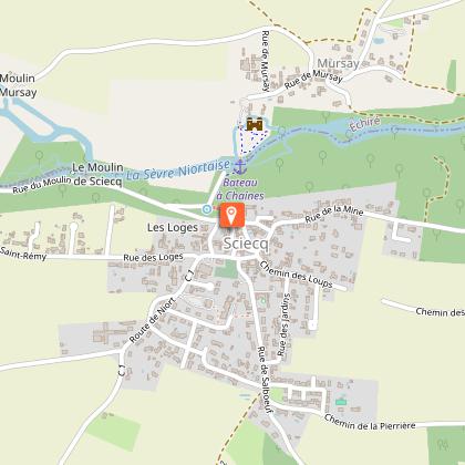
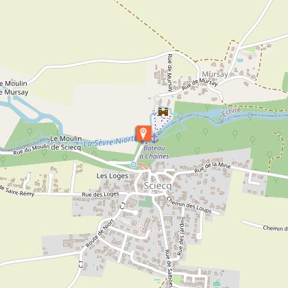
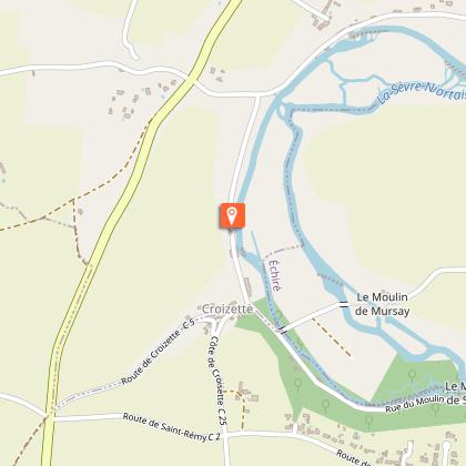
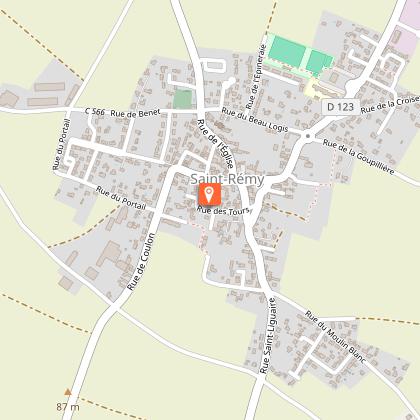
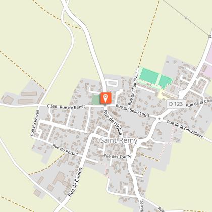
On one side the green and undulating valley of the Sevre river whose water silhouette is occasionally bristled small country castles, wash houses of sleeping, bridges and footbridges, fishing huts with variegated colors ... Then from the other, the vast golden plains whose skyline is the great blue sky bathed in light from large villages, rape fields, romantic windmills of huge grain silos ... --- Loop 39 km with the possibility of variation in two circuits: St. Maxire loop - Mursay - Niort Ste Pezenne - Sciecq - Castle Oriou - St. Maxire (25 km) or loop-St Maxire - St-Rémy - Villiers-en-Plaine - St-Maxire (19 km) --- Instructions: dismount to climb the hill of Chantemerle (Niort - Saint Pezenne). Photo: Aerial view of the town of St Rémy (Arlette Domineau).
Technical Information
Altimetric profile
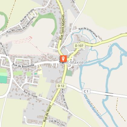
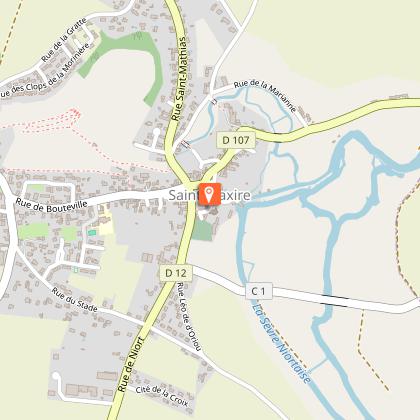
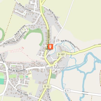
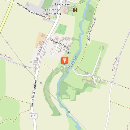
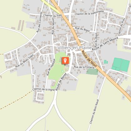
Starting point
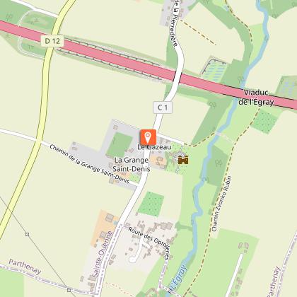
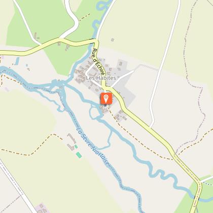
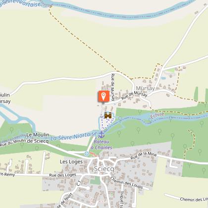
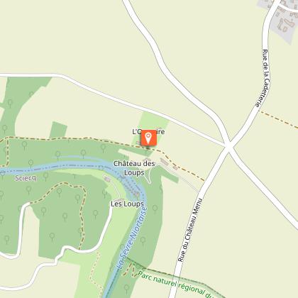
Points of interest
Additional information
Typologie de l'itinéraire
Loop
Durée moyenne de l'expérience
3 to 4 hours
Thèmes
Cultural
Historical
Animaux bienvenus ?
Oui
Data author
