Alert
Alerts
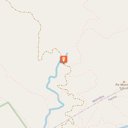
Panoramic pedestrian path


Description
The famous heart of Farino is accessible from this trail. Also enjoy the breathtaking views.
This 17.5 km trail, which takes 6 hours and 40 minutes to complete, is quite difficult. It begins on a wide trail and climbs steadily through the pine tree area (marker #2). Leave the trail on your left to go up to the Launay Mine peak viewpoint and enjoy its orientation table and the 360° view of the lagoon and the central chain (landmark n°3). These landscapes are also visible from the viewpoint of Me Aretö (altitude 686m). At the viewpoint of the marker n°7, you will have a breathtaking view on the plateau of Dogny and Sarraméa.
You will walk along the park boundary and meander along a forest path from the viewpoint of marker #8. A viewpoint at marker #13 will take your breath away before you return to the wide trail (also accessible to ATVs) that leads you to the famous heart of Farino and the Houé Camp rest area (marker #20). You will reach the kaori area (landmark n°21), from where you will enjoy an easy walk back to the reception and will pass, after a short climb, in front of the "bread oven", a vestige of the colonial era and a witness of human presence in this remote area.
© Text by SMGF
Technical Information
Altimetric profile
Starting point
Points of interest

Additional information
Updated by
Sud Tourisme Nouvelle-Calédonie - 30/04/2026
Report a problem
Environments
Forest location
Mountain view
In a nature reserve
Open period
All year round on Wednesday, Thursday, Friday and weekends between 8 am and 4 pm.
Contact
Phone : +687 20 39 57
Email : accueil.ppgf@province-sud.nc
Website : https://www.province-sud.nc/decouvrir-et-visiter/ppgf/
Facebook : https://www.facebook.com/ParcProvincialGrandesFougeres/?locale=fr_FR
Topo guides and map references
Topo guides references :
Map pdf " the pedestrian paths of the Grandes Fougères park ".
Map references :
Map DITTT n°18 Canala & n°19 La Foa
Type of land
Rock
Stone
Ground
Grit
Not suitable for strollers
Location complements
Access
From Nouméa, take the R.T. 1 to the north west. Go past the village of La Foa. Then turn right to take the direction of Canala on the R.P.5. Follow it for about 1250 m and fork towards the village of Farino. Go past the town hall to the northwest, then at 220 m turn right (V.U.2). Go down into the Farino river valley. 550 m further on turn right on the bridge (R.M.22) and join the PGF reception (good dirt track).
Animals
No
