Alert
Alerts
ViaRhôna by bike - Stage 21 - St-Gilles > Aigues-Mortes


Description
ViaRhôna, from Saint-Gilles to Aigues-Mortes.
Between Saint-Gilles and Gallician, the provisional itinerary enters the Camargue Gardoise Grand Site de France and takes you to the Centre du Scamandre.
At Gallician, near the marina, you join the greenway that takes you through the Camargue Gardoise and its exceptional flora and fauna. You'll follow the old towpaths of the Rhône-Sète canal through the marshes before reaching Aigues-Mortes, a fortified town surrounded by marshes, vineyards and salt marshes. Don't miss the view from the Tour Carbonnière to better understand this extraordinary landscape. From Gallician, two loops linked to the Vauvert - Gallician greenway will enable you to discover the surrounding countryside between vineyards, marshes and reeds.
Technical Information
Altimetric profile
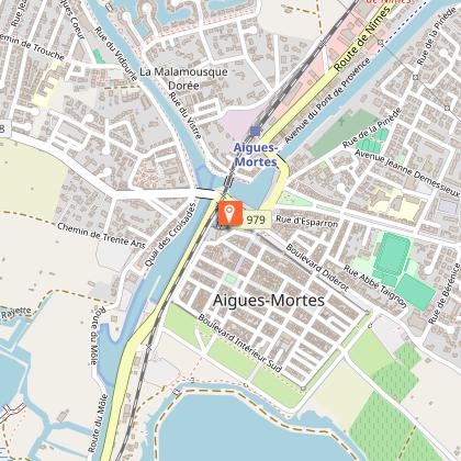
Starting point
Additional information
Services for cyclists
Nearly 130 Accueil Vélo accommodations (campsites, hotels, gîtes, chambres d'hôtes) are located within 5 km of the itinerary, guaranteeing you quality services such as a closed garage for your bike. We strongly recommend that you book your accommodation in advance, especially in tourist areas.
Updated by
Auvergne-Rhône-Alpes Tourisme - 08/09/2025
fr.auvergnerhonealpes-tourisme.com/
Report a problem
Open period
All year round.
Subject to favorable weather.
Contact
Phone : 04 26 73 31 59
Email : info@auvergnerhonealpes-tourisme.com
Website : https://www.viarhona.com/itineraire/21-viarhona-de-saint-gilles-a-aigues-mortes
Type of land
Hard coating (tar, cement, flooring)
Topo guides and map references
Topo guides references :
The ViaRhôna from Lake Geneva to the Mediterranean - Chamina
Discover the 780 km ViaRhôna itinerary along the Rhône, from Lake Geneva to the Camargue and Sète. 36 fully-marked stages to discover by bike, either as a touring route or as a series of rides.
Publisher: Chamina
Author: Olivier Scagnetti
Pages : 111
Cartography: 1:100,000
Price: €15
--------------
ViaRhôna from Lake Geneva to the Mediterranean - Ouest France
From Geneva to the Mediterranean, discover the 15 best stages of the Véloroute du Rhône, the tourist gems, towns, detours and museums to discover along the great sunshine cycle route.
Publisher: Ouest France
Author : Michel Bonduelle
Pages: 142
Cartography: 1:100,000
Price: €14.90
--------------
ViaRhôna from Lake Geneva to the Mediterranean - Le Routard / Hachette
One of the most beautiful cycling challenges is to link Lake Geneva to the Mediterranean Sea, the heights of the Alps to the marshes of the Camargue, following the course of the Rhône: this is the ViaRhôna route.
Publisher: Hachette
Authors : Philippe GLOAGUEN and Philippe COUPY
Pages: 200
Cartography: 1:100,000
Price: €14.90
Animals
Yes. It is possible to travel with a pet transported in a luggage unit. But while it's tempting to consider having your dog run alongside your bike, this won't be possible everywhere: it will often have to be kept on a leash, and must be carried on sections of the route shared with motorized traffic. Dog
Data author
