Alert
Alerts
Vallon de Lanchatra - hike from Plan du Lac


IGN cards


Description
A beautiful hike in a wild valley to discover Lanchatra's rich flora and architectural heritage.
TECHNICAL INFORMATION :
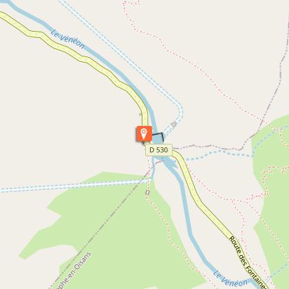
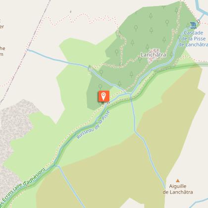
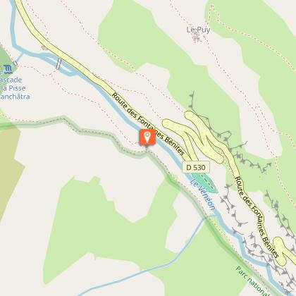
Start: Plan du Lac
Height difference: 650 m
Duration: 1 h 30 outward and 1 h 30 return
Distance: 6 km
MAP AND TOPO :
TOP 25 IGN 3236 AND
Topo map OBP n°5 (Oisans au Bout des Pieds) trail 522
ITINERARY:
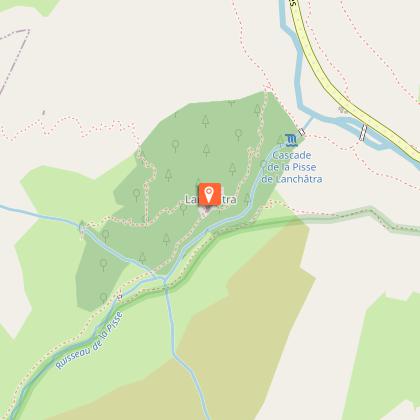
From the Plan du Lac parking lot, take the path on your right that runs alongside the turquoise waters of the Vénéon to the hamlet of Lanchatra. Take the time to pass through this beautifully restored hamlet with its small chapel, Notre Dame des Neiges. Descend through the forest towards the Vallon de Lanchatra, as far as the torrent de la Pisse. Follow the path on the left bank of the torrent, sheltered from the heat by ancient trees. The bottom of the Vallon de Lanchatra opens up to you, with its pastures and the pastoral hut of La Selle. After this, the path becomes difficult and is not recommended for children.
To return, retrace your steps to the mill footbridge, cross over and continue along the right bank of the torrent towards Plan du Lac. After a fine descent, turn left to return to Plan du Lac. The Lanchatra waterfall will be a welcome sight to refresh you with its spray and amaze you with its power.
HIKING IN THE HEART OF THE ECRINS NATIONAL PARK
The Écrins massif is an exceptional area, open to all, with a rare natural, cultural and landscape heritage. To protect these treasures, the heart of the park is marked with blue-white-red painted flags, where regulations must be respected. Please take note of them when planning your hike to preserve this collective asset on the ecrins-parcnational.fr website.
THINGS TO SEE ON THE WAY :
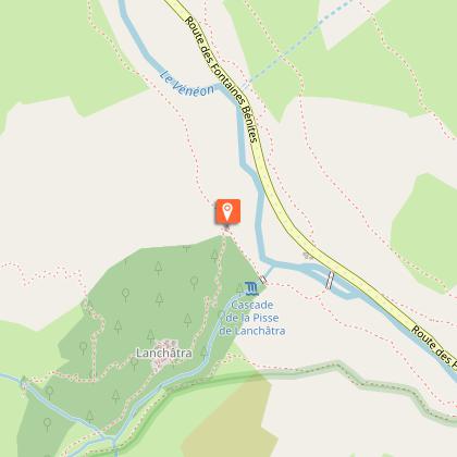
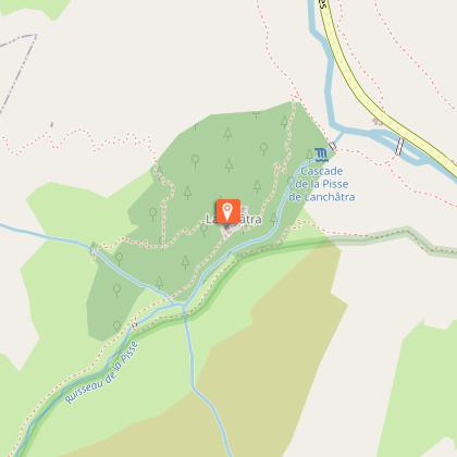
- Notre Dame des Neiges chapel and the hamlet of Lanchatra
- The Lanchatra pastures
- Lanchatra waterfall
Technical Information
Altimetric profile
Starting point
Steps
Additional information
Updated by
Oisans Tourisme - 18/11/2025
www.bike-oisans.com
Report a problem
Environments
Mountain view
Mountain location
Open period
15/05.
Subject to favorable snow and weather conditions.
Contact
Phone : 04 76 80 50 01
Email : info-berarde@oisans.com
Website : https://www.oisans.com/stations-et-villages/saint-christophe-oisans-berarde/
Facebook : https://www.facebook.com/OisansTourisme/
Type of land
Ground
Grit
Topo guides and map references
Topo guides references :
Topo map OBP n°5 (Oisans au Bout des Pieds), trail 522
Map references :
IGN Top 25 map no. 3336 ET
Animals
No
Data author
