Alert
Alerts
Hiking trail - Montsalvy Riols

Description
Hiking trail "Montsalvy - Riols".
A village overlooking the Truyère Gorge and the Lot Valley, Montsalvy offers you a hiking route starting in the heart of the medieval village. This route will allow you to appreciate many remarkable views of the region: the Lot Valley, Aveyron and the Aubrac Plateau.
This fact sheet is one of 55 available individually (€0.50) at each Visitors Bureau of the Châtaigneraie Cantalienne or to be downloaded from the Cantal Rando & Découverte app.
Technical Information
Altimetric profile
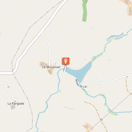
Starting point
Additional information
Environments
In the country
Lakeside or by stretch of water
Forest location
Mountain view
Village centre
Waterside
Updated by
Office de Tourisme de la Châtaigneraie Cantalienne - 17/04/2026
www.chataigneraie-cantal.com
Report a problem
Open period
All year round.
Subject to favorable weather.
Contact
Phone : 04 71 46 94 82
Email : info@chataigneraie-cantal.com
Website : https://chataigneraie-cantal.com
Facebook : https://www.facebook.com/otchataigneraie.cantal
Type of land
Ground
Hard coating (tar, cement, flooring)
Not suitable for strollers
Animals
Yes
