Alert
Alerts
Vallon de l'Orgère

IGN cards


Description
An interpretive trail that crosses the marmots’ preferred terrain before entering a forest of cembro pines hundreds of years old, brought to life by the mischievous spotted nutcrackers.
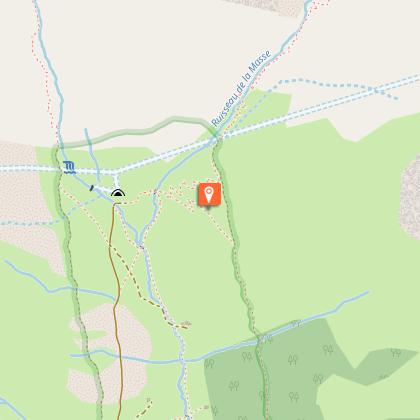
Park in the Orgère car park located after the refuge at the end of the road. Then take the old EDF track, located at the bottom of the car park. Follow the discovery trail marked by landmarks and equipped with visual, audible and tactile interpretation stations. Pass a concrete bridge that straddles the Povaret stream to reach the foot of the Aiguille Doran. Here the section of the trail labelled “Promenade de confort” ends. For people with reduced mobility and pushchair users, return to the car park by the outward route. For hikers wishing to complete the loop, follow a path to a wooden footbridge to cross the Masse stream. Continue along a winding path until you reach a crossing which is also the summit of this hike. At this crossing, turn right following the markers for the discovery trail. After walking through the rhododendrons, enter the heart of the forest, while continuing to descend gradually, exit the forest to reach a second crossing, located near the chalets. Take a right on an off-road track, arrive at a stone bridge crossing the Povaret stream. Continue on, then cross a group of buildings, including a chapel on your left. Follow the markers for the discovery trail and climb through a softwood forest by a winding path. Come out on to a road, climbing back up to reach the car park.
Technical Information
Altimetric profile
Starting point
Points of interest


Additional information
Advised parking
Orgère car park, Villarodin-Bourget
Public transport
" Rail connection to Modane. Information: www.voyages-sncf.comthen transport by coach to Villarodin. Information: www.transavoie.com No public transport between Villarodin Orgère car park.Suggested hitchhiking organised in the Haute-Maurienne valley. Information: www.rezopouce.fr "
Advice
As the trail largely borders the heart of the park, you are strongly advised to keep any dogs accompanying you on a leash. This also prevents any interactions with animals in the mountain pastures.
Accessibility infrastructure
Accessible path of about 1.4 km for people with reduced mobility and motor disabilities, certified ”Promenade confort” (comfort trail), with two disabled parking spaces. The trail is punctuated by stations consisting of tactile features, models and sound stations. The National Park’s Refuge-Porte de l´Orgère has been certified “Accessible Tourism” for the 4 disability types since 2014.
Access
From the exit of the A43 motorway, take the direction of Modane. At the Freney roundabout, take the RD 106 towards the Refuge de l´Orgère which is signposted. After a 30 minute drive, pass the Refuge on your right to access the car park.
Arrival
Orgère car park, Villarodin-Bourget
Ambiance
The valley of Orgère is a natural setting hanging over the Maurienne Valley where a wild and ancient forest shares the space with meadows maintained by several generations of farmers. Here, both wild and domesticated nature live in perfect harmony under the ominous but benevolent vigilance of the Aiguille Doran.
Departure
Orgère car park, Villarodin-Bourget
Data author
