Alert
Alerts
Description
Map
Ratings and reviews
See around
The Orgère valley

Credit
: PNV - PERRIER Jacques
Description
Orgère, where barley was grown. In past centuries, the need for pastures, hayfields and cultivated land on flat or slightly hilly areas forced man to deforest, even at high altitude. The right bank of the valley, presenting a gentler profile, was the most exploited. The rocks which clutter the plots are regularly placed in heaps, to form mounds of stones which still remain in the valley. Used during the summer, the valley was brought to life by about fifteen families and their little flock.
Technical Information
Lat, Lng
45.23089186.6729159
Coordinates copied
Point of Interest updated on 24/12/2025
Altimetric profile
IGN cards

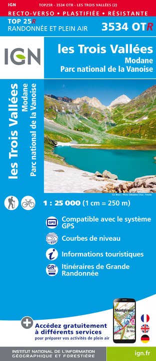
3534OTR - LES TROIS VALLÉES RESISTANTE MODANE PARC NATIONAL DE LA VANOISE
Editor : IGN
Collection : TOP 25 RÉSISTANTE
Scale : 1:25 000
17.20€

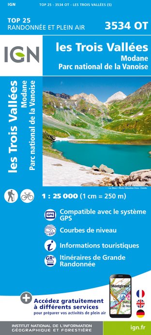
3534OT - LES TROIS VALLÉES MODANE PARC NATIONAL DE LA VANOISE
Editor : IGN
Collection : TOP 25 ET SÉRIE BLEUE
Scale : 1:25 000
13.90€

TOP75003 - MASSIF DE LA VANOISE
Editor : IGN
Collection : TOP 75
Scale : 1:75 000
9.80€

TOP100D73 - SAVOIE CHAMBÉRY ALBERTVILLE PARC NATIONAL DE LA VANOISE PNR DU MASSIF DES BAUGES
Editor : IGN
Collection : TOP 100
Scale : 1:100 000
8.40€

202 JURA ALPES DU NORD
Editor : IGN
Collection : TOP 200
Scale : 1:200 000
6.80€

D38 ISÈRE
Editor : IGN
Collection : CARTES DÉPARTEMENTALES IGN
Scale : 1:150 000
5.90€

D04-05 ALPES-DE-HAUTE-PROVENCE HAUTES-ALPES
Editor : IGN
Collection : CARTES DÉPARTEMENTALES IGN
Scale : 1:150 000
5.90€

NR15 AUVERGNE-RHÔNE-ALPES RECTO/VERSO MASSIF ALPIN
Editor : IGN
Collection : CARTES RÉGIONALES IGN
Scale : 1:250 000
6.80€

NR14 AUVERGNE-RHÔNE-ALPES RECTO/VERSO MASSIF CENTRAL
Editor : IGN
Collection : CARTES RÉGIONALES IGN
Scale : 1:250 000
6.80€

EUROPE
Editor : IGN
Collection : DÉCOUVERTE DES PAYS DU MONDE IGN
Scale : 1:2 500 000
7.00€
Data author

proposed by
Parc national de la Vanoise
Ratings and reviews
To see around