Alert
Alerts
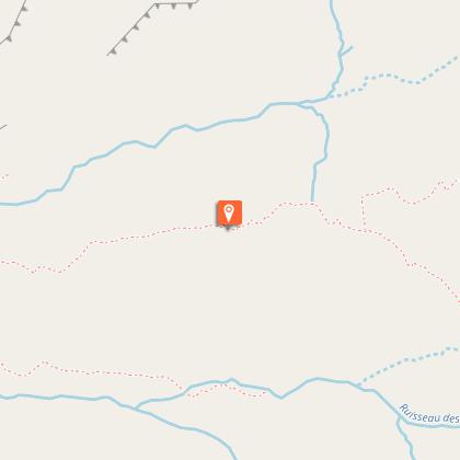
Col de la Lose

IGN cards


Description
A one-day hike discovering the Prariond valley and finishing on the border ridges, with an eye on the “older brother” National Park of Gran Paradiso.
Park at the Pont Saint-Charles car park. Follow the single trail via the gorges of Malpasset, which leads to the Prariond plateau and its refuge at the end. Take the trail that winds up above the refuge to the sloping ledge of the Grande Tête. Follow the cairns that lead to the crossroads of the paths between the Col de la Galise and the Col de la Lose. Take the trail on the right. From this moment the trail is less visible and may be cut by névés. The pass will be indicated by a reading table and a Vanoise National Park signpost. To return, take the route in the opposite direction.
Technical Information
Altimetric profile
Starting point
Points of interest


Additional information
Public transport
" Rail connection to Bourg-Saint-Maurice. Information: SNCF Then transport by coach to the administrative centre of Val d´Isère. Information:Transavoie Free shuttle buses (during the station’s opening hours) serve all the hamlets of Val d´Isère, including le Fornet. At certain times, they go as far as Pont-St-Charles. Also think about car-sharing with www.mobisavoie.fr "
Advice
" Despite a ""wide"" mountain trail (0.70 to 1 m in width) and the presence of 3 handrails, the crossing of the Malpasset gorges has a ""steep incline"" for about 1 km. Be extra vigilant with young children or people prone to vertigo. The use of some reins for children may be reassuring for everyone. "
Is in the midst of the park
The national park is an unrestricted natural area but subjected to regulations which must be known by all visitors.
Advised parking
Pont Saint-Charles car park
Access
From the Tourist Information Office of Val d´Isère follow the RD 902, in the direction of the Col de l´Iseran. Cross the hamlet of Fornet. Walk for approximately 3 km. Before crossing the Isère river, enter the Pont Saint-Charles car park on the left of the road. It is indicated by a large built cairn.
Arrival
ont Saint-Charles car park, Val d'Isère
Ambiance
" Lovely hike up the Isère, through the plateau de Prariond and a view over the glaciers of the Isère springs. Hiking is best appreciated during the ""Indian summer"" under the lights and colours of late summer, and perhaps the chance to run into the lord of the place - the alpine ibex. "
Departure
Pont Saint-Charles car park, Val d'Isère
Data author
