Alert
Alerts
Description
Map
Ratings and reviews
See around
The water intake of Pont Saint-Charles

Credit
: Christophe GOTTI
Description
"This ""basin"" is one of the inlets of Val d´Isère. This mainly supplies water to the 30,000 weekly visitors that the resort receives each winter. The water from the catchment area is used for drinking water, the residents’ sanitation needs, the municipality’s public facilities and also for the manufacture of part of the artificial snow of the ski slopes. Like all ski resorts, these winter collections coincide with the low water period, when the flow rate is the lowest."
Technical Information
Lat, Lng
45.45559027.0396839
Coordinates copied
Point of Interest updated on 17/12/2025
Altimetric profile
IGN cards

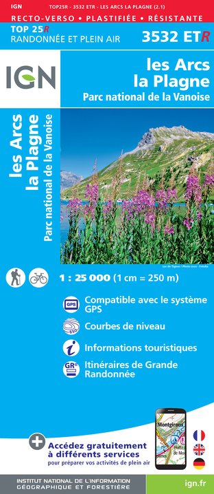
3532ETR - LES ARCS LA PLAGNE RESISTANTE PARC NATIONAL DE LA VANOISE
Editor : IGN
Collection : TOP 25 RÉSISTANTE
Scale : 1:25 000
17.20€

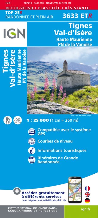
3633ETR - TIGNES VAL-D'ISÈRE RESISTANTE HAUTE MAURIENNE PARC NATIONAL DE LA VANOISE
Editor : IGN
Collection : TOP 25 RÉSISTANTE
Scale : 1:25 000
17.20€

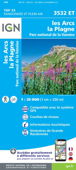
3532ET - LES ARCS LA PLAGNE PARC NATIONAL DE LA VANOISE
Editor : IGN
Collection : TOP 25 ET SÉRIE BLEUE
Scale : 1:25 000
13.90€

3633ET - TIGNES VAL-D'ISÈRE HAUTE MAURIENNE PARC NATIONAL DE LA VANOISE
Editor : IGN
Collection : TOP 25 ET SÉRIE BLEUE
Scale : 1:25 000
13.90€

TOP75004 - BEAUFORTAIN MASSIF DU MONT BLANC
Editor : IGN
Collection : TOP 75
Scale : 1:75 000
9.80€

TOP75003 - MASSIF DE LA VANOISE
Editor : IGN
Collection : TOP 75
Scale : 1:75 000
9.80€

TOP100D73 - SAVOIE CHAMBÉRY ALBERTVILLE PARC NATIONAL DE LA VANOISE PNR DU MASSIF DES BAUGES
Editor : IGN
Collection : TOP 100
Scale : 1:100 000
8.40€

202 JURA ALPES DU NORD
Editor : IGN
Collection : TOP 200
Scale : 1:200 000
6.80€

NR15 AUVERGNE-RHÔNE-ALPES RECTO/VERSO MASSIF ALPIN
Editor : IGN
Collection : CARTES RÉGIONALES IGN
Scale : 1:250 000
6.80€

NR14 AUVERGNE-RHÔNE-ALPES RECTO/VERSO MASSIF CENTRAL
Editor : IGN
Collection : CARTES RÉGIONALES IGN
Scale : 1:250 000
6.80€

EUROPE
Editor : IGN
Collection : DÉCOUVERTE DES PAYS DU MONDE IGN
Scale : 1:2 500 000
7.00€
Data author

proposed by
Parc national de la Vanoise
Ratings and reviews
To see around