Alert
Alerts
Yenne Balcony Trail


Description
Ideal walk to discover sceneries of the Rhone River with three viewpoints over the Balme Bridge, the Rhone Defile, the Chartreuse Fortress of Pierre Châtel and the plains of Ain. Easy itinerary. Duration : 3 to 3:30 hours. Starts from Yenne.
The path, which is none other than the Camino de Santiago de Compostela, rises quietly in the shade of the boxwood-dotted forest.
Arriving at Notre-Dame de la Montagne, the first lookout, with its reading table, offers a splendid view of the gorge. Watch as the Rhône winds its way under the suspension bridge. It may look like a wise man, but a chapel is not too much to ask for protection from devastating floods!
The path continues on to two other lookouts, from which you can admire the gorge and former navigation posts on the Rhône: the 13th-century Carthusian monastery of Pierre-Châtel and the 19th-century military fort.
A little further on, contemplate the plain where the river takes all its ease.
Continue on to the Croix de Chevru and you've reached the highest point of your tour. You can then descend to Yenne via the traditional hamlet of Chevru.
Technical Information
Altimetric profile
Starting point
Points of interest

Additional information
Environments
In the country
Close to a public transportation
Close to GR footpath
Bus stop < 500 m
Updated by
Office de Tourisme de Yenne - 24/11/2025
www.dentduchat.fr
Report a problem
Contact
Phone : 04 79 36 71 54
Email : info@yenne-tourisme.fr
Website : http://www.dentduchat.fr
Type of land
Ground
Location complements
Bus stop near Yenne town center named Salle des Fêtes on route no. S02 173 (Chambéry/Yenne/Belley). By car, you can park in the Place des Vieux Moulins parking lot or in the parking lot opposite the Maison de la Dent du Chat. You can also use the parking lot near the cemetery. Free parking. Hiking signs visible near the Maison de la Dent du Chat. It is still possible to park as close as possible to the path at the Chapelle Notre Dame de la Montagne parking lot (route de Chevru).
Guidebook with maps/step-by-step
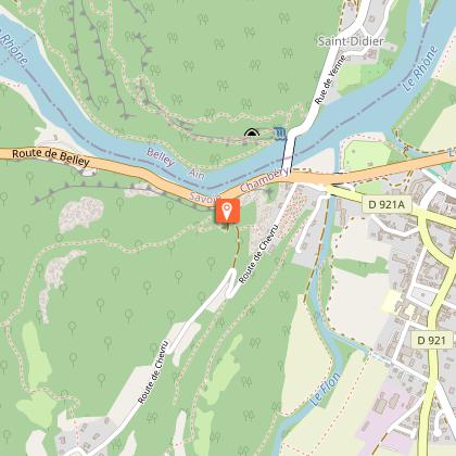
Start: Yenne church car park 230 m
1/ Head towards Avenue du Rhône then Route de Chevru, following the GR9-GR65 as far as the Notre Dame de la Montagne chapel
2/ 100 m after the chapel, the first lookout offers a panoramic view of the Rhône and the tomb of Pierre Boisson.
3/ Continue through the forest to the second viewpoint via the hamlet of ‘La Prison’ (345 m).
4/ Reach the ‘Pierre-Châtel viewpoint’ (480 m) and look out over the old Carthusian fortress.
5/ Continue on to the third viewpoint overlooking the Rhône plain, passing the Chevru Cross.
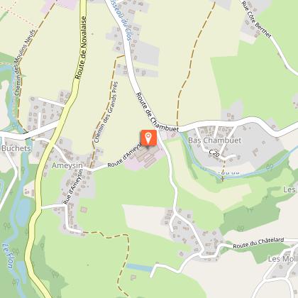
6/ Continue on to ‘Pré Cevin’ (545 m)
7/ Return to the start via the hamlets of Chevru and ‘Curtelod’ (345 m).
Animals
Yes. Pets allowed on leash only. Water available near Yenne cemetery.
Data author
