Alert
Alerts
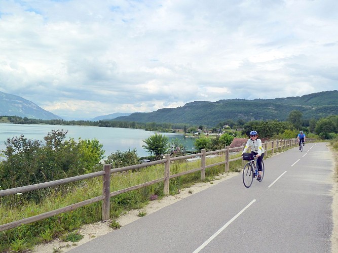
Cycling up Col du Clergeon


Description
The twists and turns of this pass, traced under dense forest cover, offer a number of viewpoints over the Chautagne region and the formidable Grand Colombier.
This pass has a total of 750 Points for the square rating.
Technical Information
Altimetric profile
Starting point
Date and time
- From 01/04/2026 to 30/11/2026
- From 01/04/2027 to 30/11/2027
Additional information
Updated by
Agence alpine des territoires - 10/03/2026
www.agate-territoires.fr
Report a problem
Topo guides and map references
Map references :
Savoie Mont Blanc cycling map available from the tourist office.
Open period
From 01/04 to 30/11 daily.
Navigable with no snow cover, subject to weather conditions.
Check beforehand with the Tourist Office for up-to-date information on weather conditions.
Subject to favorable weather.
Contact
Phone : 04 79 88 68 00
Email : accueil@aixlesbains-rivieradesalpes.com
Website : https://www.aixlesbains-rivieradesalpes.com
Guidebook with maps/step-by-step
From Ruffieux, close to the Via Rhôna and served by the Savoie and Ain cycle routes, reach the village center, then follow the D55 to the summit.
Animals
Yes
Data author
