Alert
Alerts
From Montgellafrey to the "Grande Léchère" lake (6)

Description
[Montgellafrey area]
Red level (medium) itinerary with an ascending elevation of 675m. The hike lasts around 3 hours. This path is for people having experience and skills for hiking.
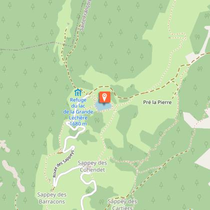
From the parking lot at the entrance of the Montgellafrey village, follow the main road to the local bread oven. Take on your left and go up towards the «Chargeux». Continue to go up on the path. You arrive at a crossing with the road. Take the path in front of you. Take the direction of the «Mollaret» and then the «Andrés» hamlets. Then reach the «Vinits» and the «Cartiers». Arrived at the «Cohendets» let them on your left and go up to the lake.
Technical Information
Altimetric profile
Starting point
Points of interest
Date and time
- From 01/07/2026 to 31/08/2026
- From 01/07/2027 to 31/08/2027
Additional information
Environments
Lakeside or by stretch of water
Mountain view
Waterside
Lake view
Mountain location
Updated by
Office de Tourisme de Saint François Longchamp - 10/04/2026
saintfrancoislongchamp.com
Report a problem
Open period
From 01/07 to 31/08 daily.
Contact
Phone : 04 79 59 10 56
Animals
Yes. Dogs allowed. They must be kept on leash.
