Alert
Alerts
Ascent to Lake Anterne


Description
Join the splendid Lac d'Anterne in the heart of the Passy Nature Reserve, passing through several emblematic sites: Ayères des Pierrières, Col d'Anterne, Moëde Anterne and Chatêlet d'Ayères refuges, Lac Vert...
This is a long but relatively accessible hike. The beauty of the places you'll pass through will more than make up for the effort.
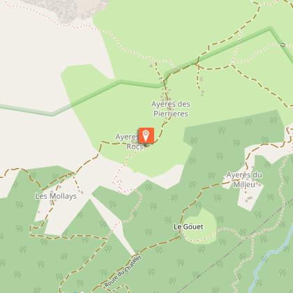
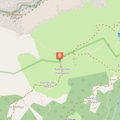
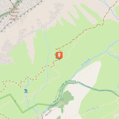
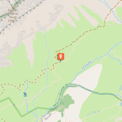
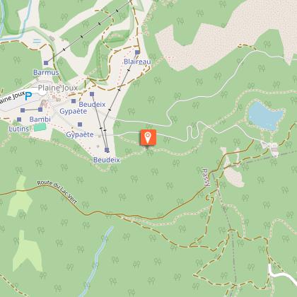
From Passy Plaine-Joux, take the path up to Barmus and continue along the track to Ayères des Pierrières.
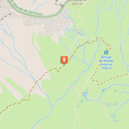
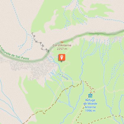
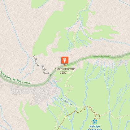
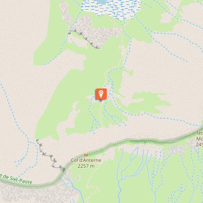
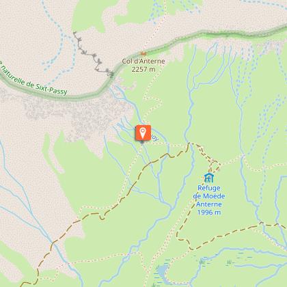
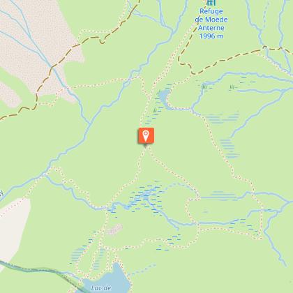
Reach the Col d'Anterne and descend to the lake of the same name in breathtaking natural surroundings.
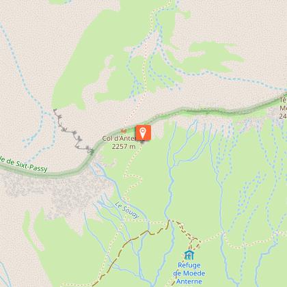
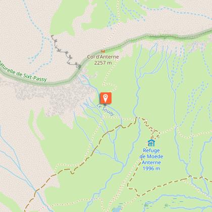
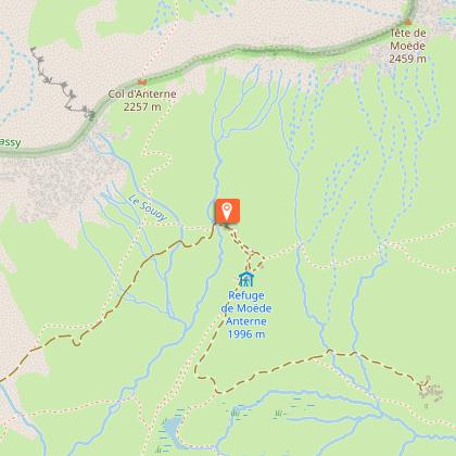
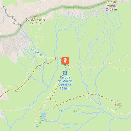
Retrace your steps to reach the refuge de Moëde Anterne and les Argentières (some tricky sections).
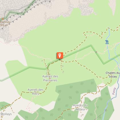
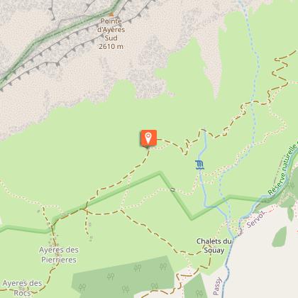
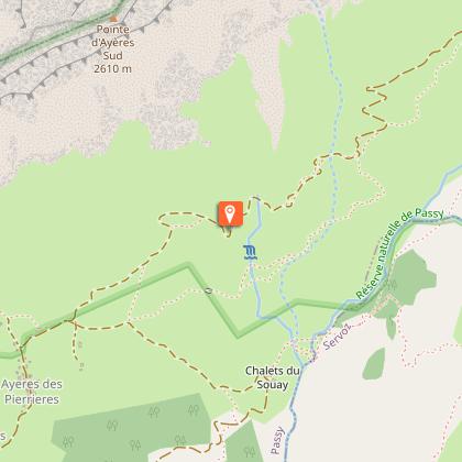
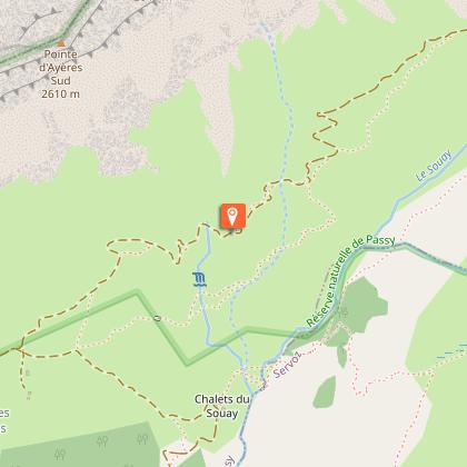
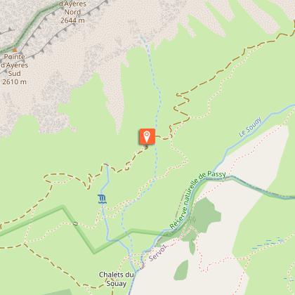
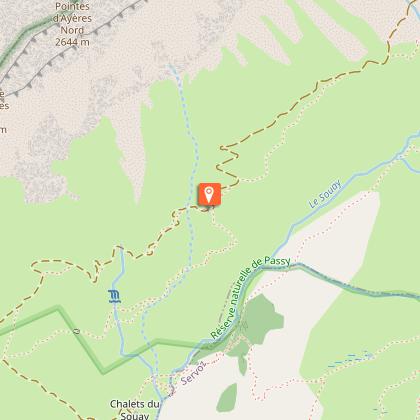
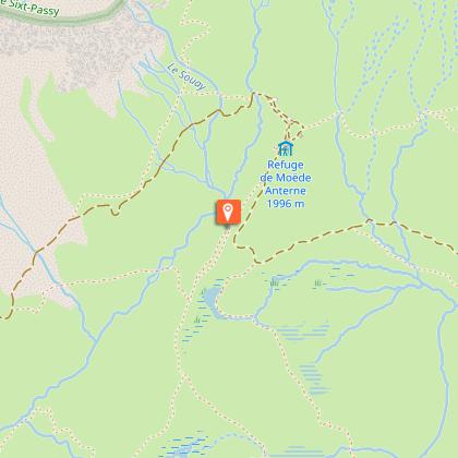
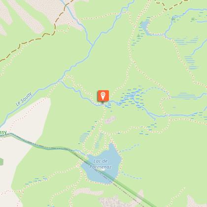
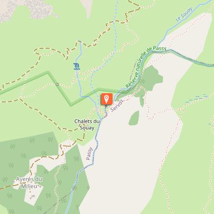
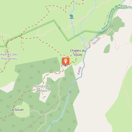
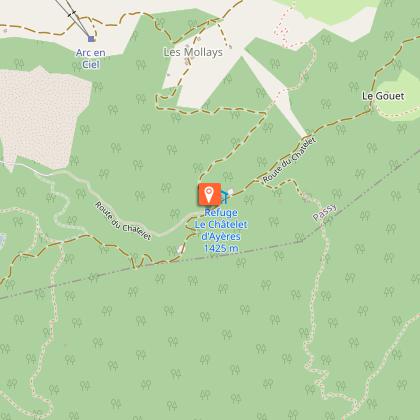
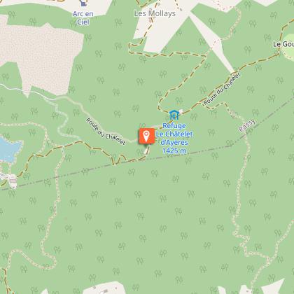
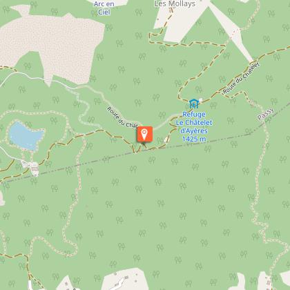
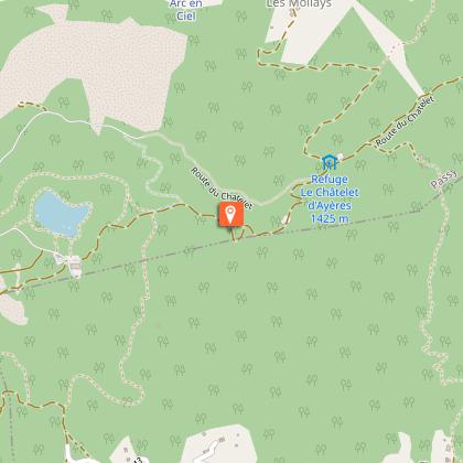
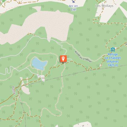
Continue your descent to Chalets du Souay, Ayères du Milieu and the Châtelet d'Ayères refuge, before reaching the heights of Lac Vert, another natural wonder of the route.
Return to Passy Plaine-Joux to complete the route.
Please note: Mountain lakes are fragile ecosystems. It's best not to swim in them. The addition of organic matter or chemicals (sun cream, buoys, etc.) has a profound effect on the way they function.
The Passy nature reserve is a protected and regulated area. Dogs, even on a leash, are forbidden, as are motorized vehicles, fires and overflights, particularly by drones. Bivouacs are permitted from 7pm to 9am.
Technical Information
Altimetric profile
Starting point
Steps


Date and time
- From 01/06/2026 to 01/11/2026
- From 01/06/2027 to 01/11/2027
Additional information
Updated by
Office de Tourisme de Passy - 09/05/2026
www.passy-mont-blanc.com/
Report a problem
Environments
Mountain view
Mountain location
Close to a public transportation
Close to GR footpath
In a nature reserve
Panoramic view
Presence of livestock and guard dogs
Topo guides and map references
Map references :
IGN TOP25 3530ET - SAMOËNS/HAUT-GIFFRE
Open period
From 01/06 to 01/11 daily.
Subject to snow conditions.
Type of land
Stone
Ground
Contact
Phone : +33 (0)4 50 58 80 52
Email : info@passy-mont-blanc.com
Website : https://rando.nature-haute-savoie.fr/trek/143-Lac-d-Anterne
Facebook : https://www.facebook.com/Passymontblanc/
Guidebook with maps/step-by-step
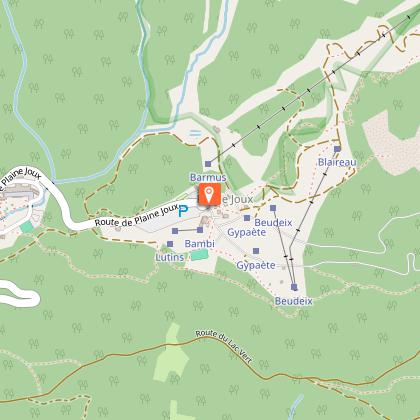
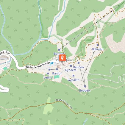
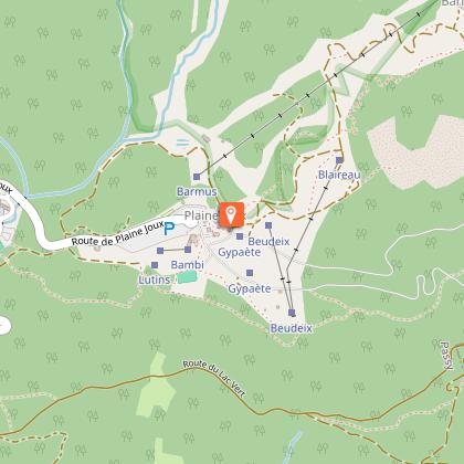
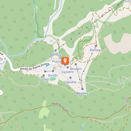
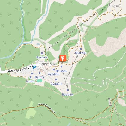
1) Passy Plaine-Joux
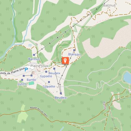
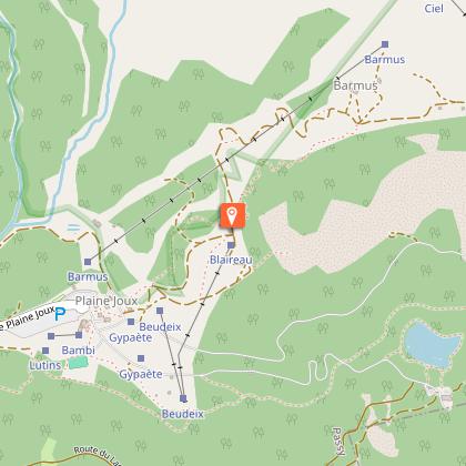
2) Barmus
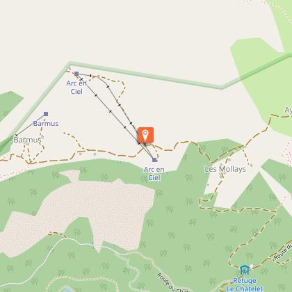
3) Ayères des Pierrières
4) Col d'Anterne
5) Lac d'Anterne
6) Col d'Anterne
7) Refuge de Moëde Anterne
8) Argentières
9) Chalets du Souay
11) Châtelet d'Ayères refuge
12) Balcon du Lac Vert
Animals
No
