Alert
Alerts
Along the way

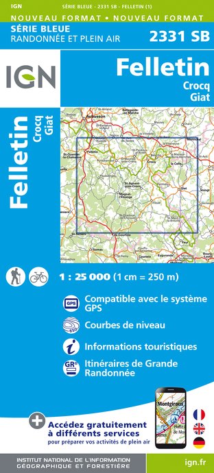
IGN cards


Description
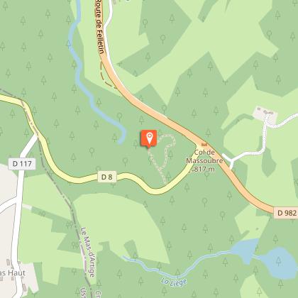
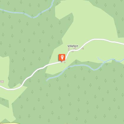
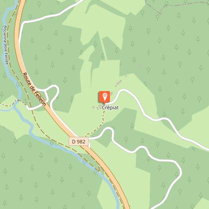
Come and discover the source of the Creuse on the Plateau of Millevaches.Park at the crossroads between the D982 and the D8. Follow the road towards Féniers for 100 m.Follow the grassy trail that leads to the source of the Creuse. Continue on the decking. After the steps, turn left to join the D982. Cross over and take the small road that leads to Artiges.In the village, turn left onto a path that runs alongside the road. Take the tunnel and go uphill to the left for 200 m. Take the earth path on the right. Pass the Creuse and go back up into the woods. Follow the main path straight ahead. 100 m before the road, it branches off to the right. At the T-junction, turn right; ignore two paths on the left, cross the stream and go up the hill towards Villefert.Take the road to the right (off the circuit): on the left, make a return journey of 100 m to see the remains of the church of Villefert). Keep straight on down the road, and pass the Creuse. After the gatekeeper's house, turn right onto a grassy path which joins the D982. Cross it, go back up for a few metres and take the road towards Crépiat.Continue straight into the village. The road becomes a path that you take on the right. Continue straight along this path, ignoring the paths on the left. At the track, turn left. Then turn right at the next crossroads to reach the Pomet.Go straight down into the village. Turn right onto the road. Continue straight on this road until you reach the church (before the church, on the left below the road, is a spring).In front of the church, take the stony path that passes in front of the houses. At Massoubre, go down on the left to join the D982. Follow it to the right and then turn left to return to the starting point.
Technical Information
Altimetric profile
Starting point
Steps
Additional information
Departure
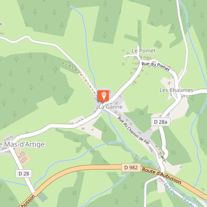
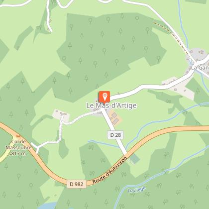
Sources de la Creuse car park, the Mas d'Artiges
Arrival
Sources de la Creuse car park, the Mas d'Artiges
Ambiance
A magnificent itinerary that allows you to explore the high valley of the Creuse river on the northern edge of the Plateau de Millevaches, the plateau with a thousand springs. Starting from a peaty area of significant ecological interest, the spring at the source becomes a stream that you will cross twice. All along the route, the villages and their historical features will arouse your curiosity and spark your imagination.
Access
From La Courtine, take the D982 towards Felletin. Continue straight ahead for 10 km, and turn left on the D8 towards Féniers. The car park is 50 m further on.
Advised parking
Sources de la Creuse car park, the Mas d'Artiges
Advice
Shooting takes place regularly close to the military camp at La Courtine. Don't worry, it only happens inside the military compound.The site of the church of Villefert is not secured or safe, do not go near the ruins.
