Alert
Alerts
Description
Map
Ratings and reviews
See around
L’ancienne voie ferrée
Description
En contrebas de la mairie, vous remarquerez une portion de piste rectiligne. Il s’agit d’une portion de l’ancienne voie ferrée qui reliait Ussel et le camp de la Courtine à Aubusson et au centre de la France. La section entre Felletin et Ussel fut définitivement déclassée en 2001.Peu après cette ligne droite, se trouve le tunnel du Gaudeix, plus long tunnel ferroviaire de la Creuse (1 336 m.).
Technical Information
Lat, Lng
45.73432.20206
Coordinates copied
Uncertain state
Point of Interest updated on 01/03/2023
This point of interest hasn't been updated recently, which could compromise the reliability of this information. We recommend that you inquire and take all necessary precautions. If you're the author, please verify your information.
Altimetric profile
IGN cards
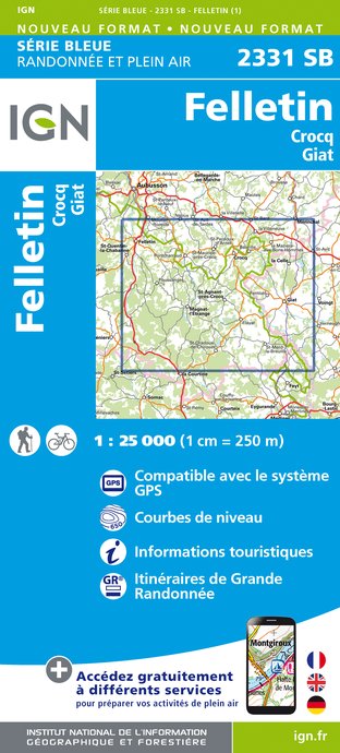
2331SB - FELLETIN CROCQ GIAT
Editor : IGN
Collection : TOP 25 ET SÉRIE BLEUE
Scale : 1:25 000
13.90€

147 LIMOGES GUÉRET PNR DE MILLEVACHES EN LIMOUSIN
Editor : IGN
Collection : TOP 100
Scale : 1:100 000
8.40€

148 CLERMONT FERRAND SALERS PNR DES VOLCANS D'AUVERGNE
Editor : IGN
Collection : TOP 100
Scale : 1:100 000
8.40€

D23-87 CREUSE HAUTE-VIENNE
Editor : IGN
Collection : CARTES DÉPARTEMENTALES IGN
Scale : 1:150 000
5.90€

D03-63 ALLIER PUY-DE-DÔME
Editor : IGN
Collection : CARTES DÉPARTEMENTALES IGN
Scale : 1:150 000
5.90€

D15-19 CANTAL CORREZE
Editor : IGN
Collection : CARTES DÉPARTEMENTALES IGN
Scale : 1:150 000
5.90€

EUROPE
Editor : IGN
Collection : DÉCOUVERTE DES PAYS DU MONDE IGN
Scale : 1:2 500 000
7.00€
Data author

Ratings and reviews
To see around