Alert
Alerts
Démant circuit


IGN cards


Description
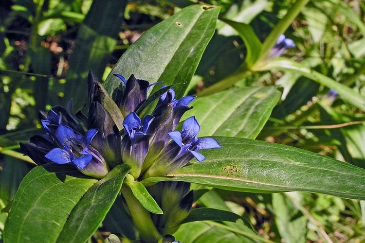
Once you reach around 2000m in altitude, you will have left the Mediterranean lavender and broom behind you and entered into an unfamiliar lunar landscape, illuminated by brightly coloured Alpine flowers.
At the Park information boards, follow the dirt track which leads to La Colle along the mountainside.After the first houses, at marker 8, take the Mont Mounier itinerary which skirts around the houses, heading alongside the drinking trough and then the old sheep dips. A wide path rises, touching on the agricultural terraces. At marker 44, you will be able to appreciate the panoramic view over Beuil and Valberg.You will reach a first flatter, grassy section, followed by another flatter section and then reach the heart of the Park. Go over the ridge of Les Passes.At marker 47, another stop will be required to enjoy the panorama to the east of the Mercantour mountain chain and the direct view onto the ruined observatory.Head right, taking GR5 on the slopes of La Tinée. The path runs alongside the eroded slopes until Col des Moulinés, providing a view of the hamlet of Vignols and the Longon plateau.Head downwards onto the southern slopes towards the springs at Cians and at marker 45 you will reach the military track. Then follow directions to Col de l’Espaul until you reach the pastoral hut.A narrow footpath shortcutting the zigzagging path heads to the valley of Les Isclas and the former military camp around the barn.A 3km return journey via the path to Col de l’Espaul.
Technical Information
Altimetric profile
Starting point
Points of interest


Additional information
Departure
Col de l'Espaul, Valberg (commune of Péone)
Arrival
Col de l'Espaul, Valberg (commune of Péone)
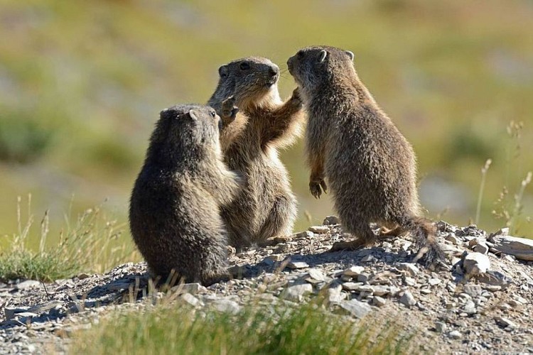
Ambiance
Take a look at the elements which will help you understand the development of the Black Mountain. A pyramid born in the Alpine ocean, it has become a high-altitude desert whose summits offers one of the finest belvederes in the Alpes d'Azur.
Access
At Valberg, opposite the chapel of Notre-Dame des Neige, turn left onto the road towards Les Huerris which rises via Avenue Jean Ray up to the Centre de l'Équipement. Then turn right onto the road towards La Colle, reaching the Col de l'Espaul (1748m) carpark 3km further on. National Park information board.
Accessibility infrastructure
Adaptation work is due to take place in 2015 on Col de l'Espaul.
Advised parking
Carpark, Col de l'Espaul
Advice
A hike which is exposed to the elements with no opportunities for filling water bottle along the way. Make sure that you take a hat and a full drinking bottle.
A more strenuous variation is available when you reach marker 47 towards the peak of Mont Mounier (2817m) by turning left onto GR5. This will take two extra hours and includes another 300m climbing.
Is in the midst of the park
The national park is an unrestricted natural area but subjected to regulations which must be known by all visitors.
Data author
