Alert
Alerts
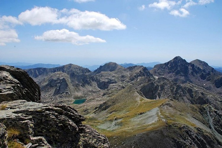
Around Belvédère, a very aptly named place
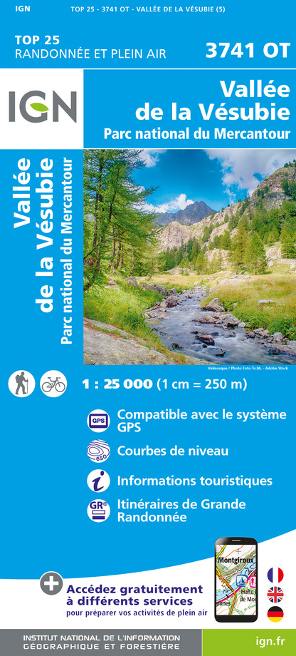
IGN cards


Description
Walk through the outskirts of the village and gain understanding of how the landscape has changed since the farming terraces were abandoned.
Opposite Belvédère town hall, go up the cobbled alleys, following GR52a (red and white markers). In Rue St-Esprit, go past the Place des Pénitents blancs on your right. Note the old houses built with stone transported by the ancient glacier.Take the path which heads away from the cemetery. Before you go into the Bois de Robiniers, a take a look at the beautiful view over the village of Roquebillière, with, from left to right, the peaks of Siruol, Castel Vieil and Mont Pépoiri (or “rotten peak” - 2674m).Partially concreted, the path heads into the chestnut grove and passes close to the Planet chapel, then leads to pastures grazed by horses.Jays can often be heard here; sparrow hawks and buzzards can also be seen at times.The track widens. At marker 290, leave GR52a to continue on your left and continue until you reach the road. The Grand Capelet and the Mont des Merveilles can be seen by looking straight down the valley.Turn right, proceed for around fifteen metres then turn right again, between the houses. A path with yellow markers heads down into the chestnut grove, going close to the ruins of Saint-Jean, a former military fort.When you reach the trackwhich can be used by vehicles, turn left. After a few metres, you will find the path on your left which leads down to the former farming terraces. Continue until you reach the irrigation channel (marker 264). Turn right, leaving the chestnut grove and you will come out onto terraces which are still maintained and used as allotments.To the south, the village of Lantosque and the Cime de Roccassiera.Return to Belvédère via a former wash house and the Place des Pénitents blancs.
Technical Information
Altimetric profile
Starting point
Points of interest


Additional information
Departure
Belvédère, townhall
Arrival
Belvédère, townhall
Ambiance
Come and enjoy a walk close to a sunny village and discover the landscapes of the high country, whose calm marks a transition area between the high mountains and the Mediterranean hills.
Access
Via La Vésubie: from Nice, take the A8 motorway – Exit 52 Nice Saint Isidore - then RD6202 (Route de Grenoble) until you reach Plan du Var, then D2565 towards Saint Martin Vésubie.
Via La Tinée: from Nice take the A8 motorway – Exit 52 Nice Saint Isidore - then RD6202 (Route de Grenoble) to La Mescla, then D2205 (Vallée de la Tinée). Go through La Bollinette, take the D2205 towards Valdeblore - La Colmiane.
Public transport
Arriving by bus:
Number 730 - Nice (Vauban) - Saint Martin Vésubie (bus stop: Corniglion Molinier)
Then take the Goldolasque/Merveilles minibus which is available on Fridays, Saturdays, Sundays and Bank Holidays in July/August and Saturdays and Sundays from 1st to 20th September inclusive.
Consult timetables on the Ligne d'Azur website.
Data author
