Alert
Alerts
The path of the donkey's soul to the Rio Negro


Description
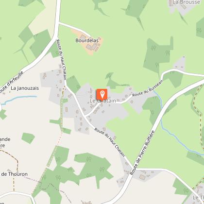
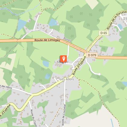
Cette randonnée vous emmène à la découverte des vieux villages ruraux autour de la commune de la Geneytouse et des Allois.At the church square, exit the car park on the right and turn left onto the road leading to the stadium, then turn left before the houses.At the crow's foot, turn right.When you reach a small road, turn right.Take the path to the right that will take you to Le Theil.Once at Le Theil (farm), take the road on the right and then the path on the right.Cross the stream and take the path to the left.Once you reach the road, turn right and take it, then take the road on the left towards "Le Châtain".After the village, when you reach another road, turn right and take it.Take a small path on the left between the houses and continue straight ahead until you reach a minor road.Take this small road on the right and then turn right before the farm.At the end of the road, take the path to the right. Pass in front of the houses and continue down the sloping path. Pass by a pond.Take the road on the right, cross the D 12a and head towards "La Tuilerie". Go past the farm and continue straight ahead.Take the road to the right. Cross the D979 carefully, and go straight ahead towards "Saint-Léonard".At the end of the housing development, turn right and continue into the woods. At the next crossroads, go straight ahead.Continue straight ahead..Take the path on the right.Take the path to the right, then to the left onto the road.At the crossroads, turn right.Take the path on the left.Cross the field on the right, by "Le Sautadour".Be careful, and cross the D979, then take the path opposite and continue straight ahead.When you reach the road, turn left onto it.At the crossroads with the D979, take the small road on the right towards the cemetery.
Technical Information
Altimetric profile
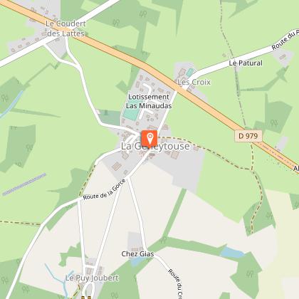
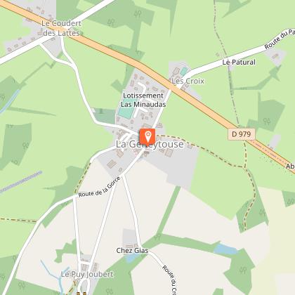
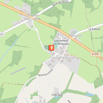
Starting point
Steps

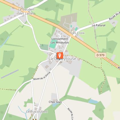
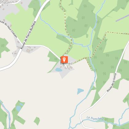
Points of interest


Additional information
Advised parking
Church car park, La Geneytouse
Access
A 20 km de Limoges prendre la D979 en direction de Feytiat/Eymoutiers puis à droite sur la D55 A1 pour entrer dans le bourg de La Geneytouse.
Ambiance
Entre forêts de feuillus et bois de châtaigniers, au fil des cours d’eau, le paysage agricole témoigne de la vie rurale dans les campagnes. Les vieux villages du Theil, du Châtain, du Breuil et son joli point de vue, puis celui des Allois, uni à la commune de la Geneytouse par ordonnance royale en 1829, dévoilent leurs intérêts architecturaux et historiques.
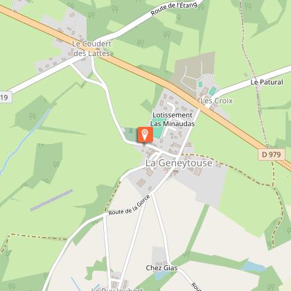
Arrival
Church, La Geneytouse
Departure
Church, La Geneytouse
Data author
