Alert
Alerts
Type of practice
Mountainbiking
Medium
2h
Presentation
Description
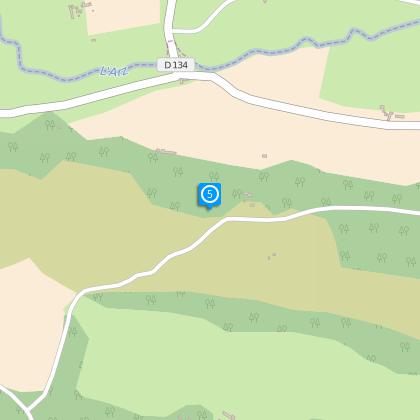
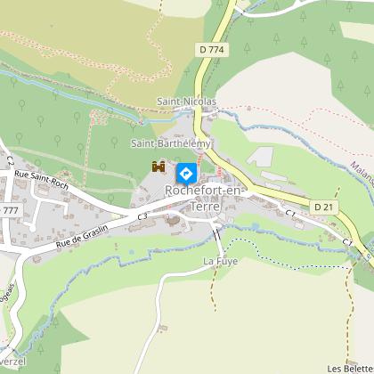
Map
Steps
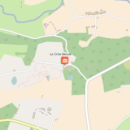
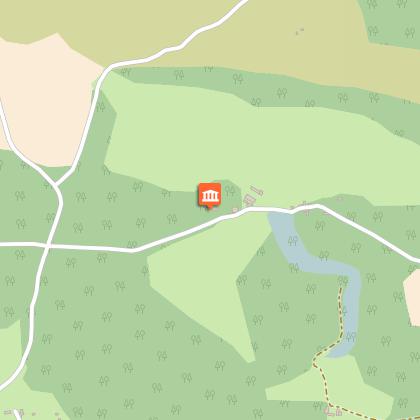
Points of interest
Ratings and reviews
See around
Ardoisières Trail MALANSAC

Credit : Pays Touristique Vannes-Lanvaux
Description
The area of Malansac extends from Rochefort-en-Terre (town listed as a "Petite Cité de Caractère"), to the Grées, a shale and slate-like strip that towers over the Valley of Arz. The Circuit des Ardoisières offers fantastic views but be careful; due to the presence of old open pit mines, it is recommended that you stay on the marked path.
VTT marks n°5 blue
Technical Information
Mountainbiking
Difficulty
Medium
Duration
2h
(1d)
Dist.
20 km
Type of practice
Mountainbiking
Medium
2h
Show more
Altimetric profile
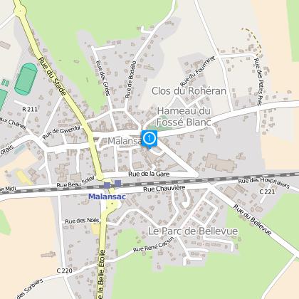
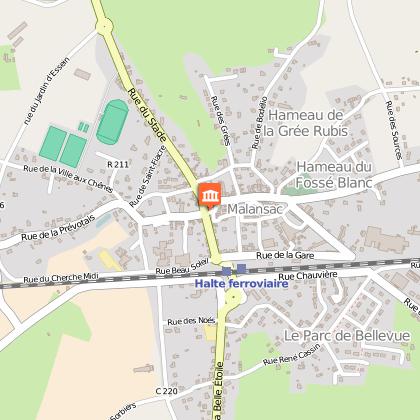
Starting point
2
Place du Marché
,
56220
Malansac
Lat : 47.67712Lng : -2.29363
Steps
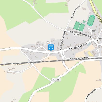
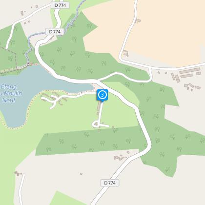
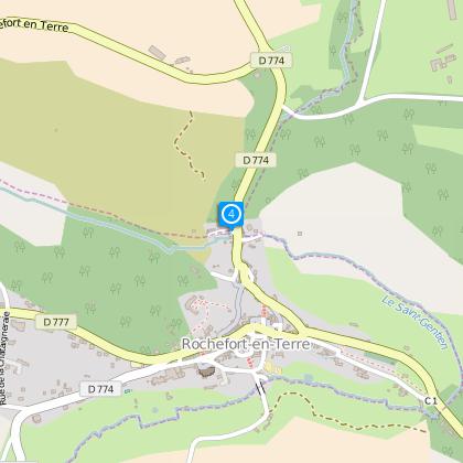
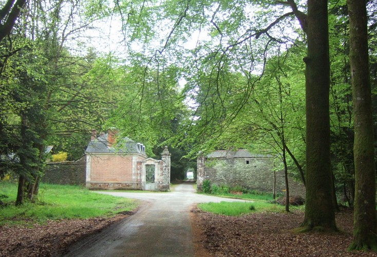
Points of interest

Data author

proposed by
Rochefort-en-Terre Tourisme
13 Rue des Halles 56230 Questembert France
Ratings and reviews
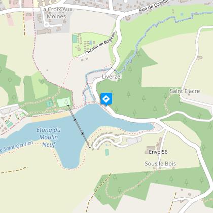
To see around