Alert
Alerts
Type of practice
Walking
Medium
4h
Running
Hard
1h45mn
Cycling
Medium
1h
Presentation
Description
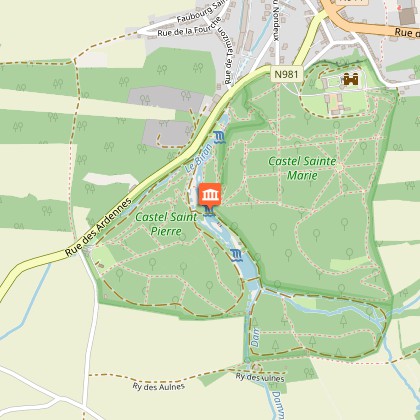
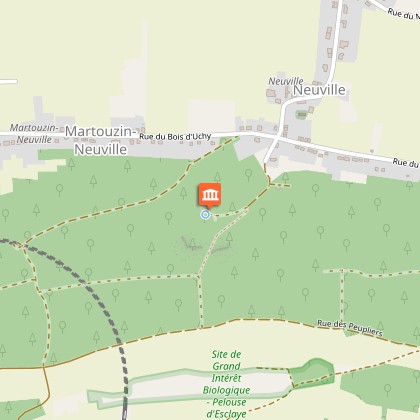
Map
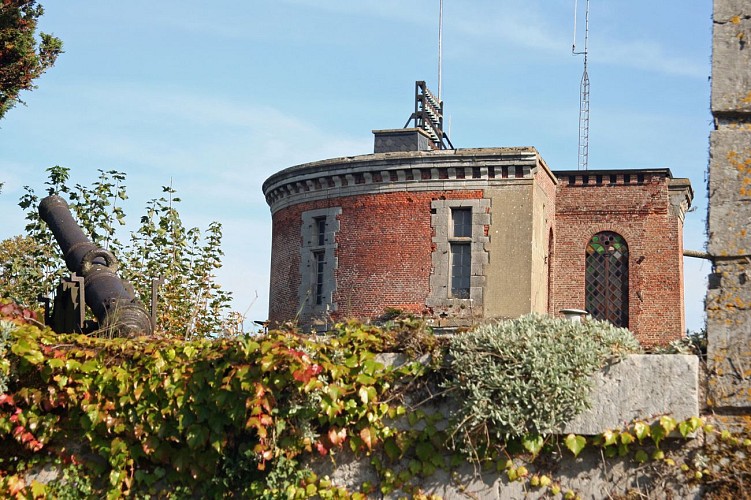
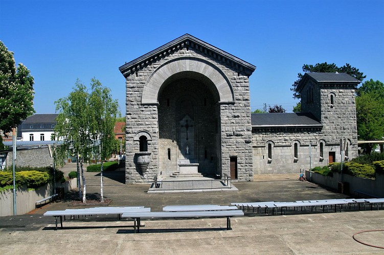
Points of interest
Ratings and reviews
See around
UNESCO Global Geopark Famenne-Ardenne : Geotrail of Beauraing


Credit : Geopark Famenne-Ardenne
Description
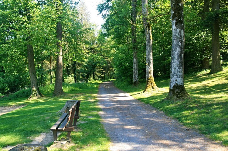
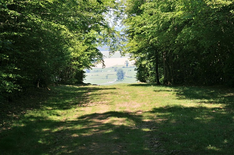
Begin your walk around Beauraing by walking through the Parc du Castel with its castle perched on the heights of the Calestienne, looking down across the town and the Famenne depression. Once you have left behind the town centre, its narrow lane and the site of the apparitions of the Virgin Mary, the rest of the trail continues along the limestone strip. This trail will take you to unusual geosites such as the Neuville travertine and the Martouzin take-off area. The final part of the trail follows a pretty GR footpath between the fields and the wall of the Parc de Castel.
Technical Information
Walking
Difficulty
Medium
Duration
4h
(1d)
Dist.
14 km
Type of practice
Walking
Medium
4h
Running
Hard
1h45mn
Cycling
Medium
1h
Show more
Altimetric profile
Starting point
5570
Beauraing
Lat : 50.10181Lng : 4.94816
Points of interest
Data author

proposed by
UNESCO Global Geopark Famenne-Ardenne
2 Place Théo Lannoy 5580 Rochefort Belgique
Ratings and reviews
To see around