Alert
Alerts
Castel Saint-Pierre Communal Park
Description
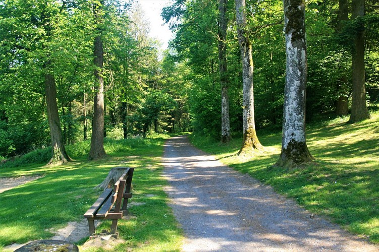
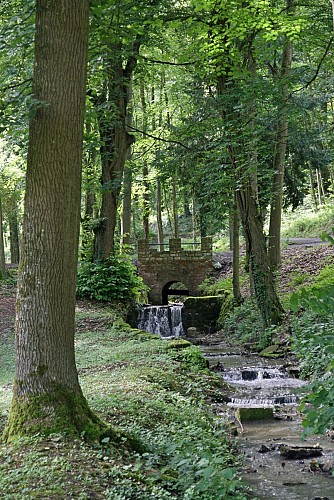
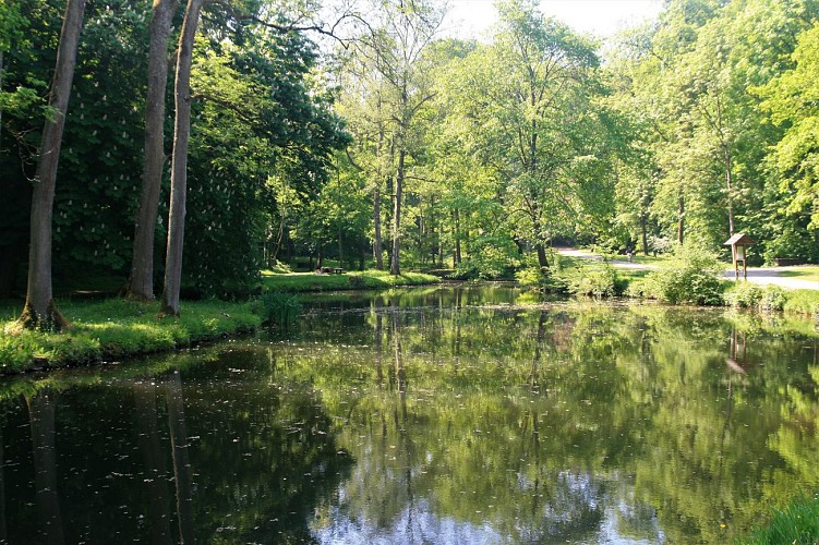
The trail starts from the Castel SaintPierre municipal park just a few minutes from Beauraing town centre. The park runs along the valley of a stream, the Dammaron, and features a series of ponds, low cliffs and woods occupying a total of 27 hectares. This is a wonderful spot for all kinds of leisure activities, from walking to fitness circuits and jogging or mountain-biking trails. There are a number of picnic areas with barbecues that are free for visitors to use. The park owes its name to the ancient Romanesque chapel, now a listed monument, dedicated to the first Bishop of Rome, Saint Peter. This park leads naturally into the Parc
du Castel Sainte-Marie, a 32-hectare estate that also offers endless opportunities for walks. There is no physical separation between the two parks, the first of which is municipal and the second of which is owned by the association ASBL Pro Maria but is open to the public. The two parks sere originally one, forming the 59-hectare “gardens” of Beauraing Castle. For those with an interest in botany, there is a small arboretum featuring over 50 forest species and a variety of different sorts of vegetation characteristic of the Calestienne. Approaching the exit, you will notice several sequoias, planted in the latter half of the 19th century. For the geology buffs, the upper car park stands on Eifelian sandstone but, as you head north, you
will gradually find yourself in an area of limestone rocks. It is mainly in the stream valley that you will find the
finest outcrops. This walk will take us to the secondary entrance to the Parc du Castel Sainte Marie some 1,500metresNNE on Rue du Luxembourg. Of all the possible options, we opted for a route using paths and tracks that can sometimes be a little steepbut offers a wilder, rockier setting.
Technical Information
Altimetric profile
IGN cards




Data author
