Alert
Alerts
Type of practice
Walking
Easy
2h35mn
Running
Medium
1h
Mountainbiking
Easy
40mn
Presentation
Description
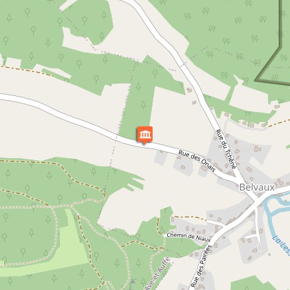
Map
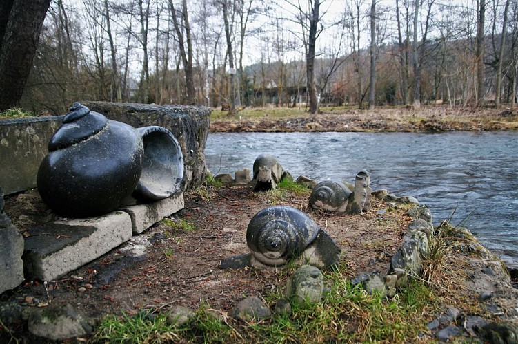
Points of interest
Ratings and reviews
See around
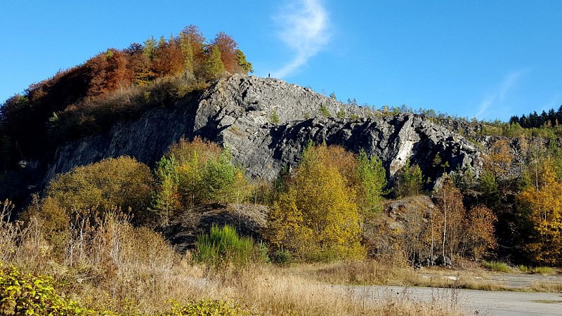
UNESCO Global Geopark Famenne-Ardenne: Geotrail of Tellin


Credit : Geopark Famenne-Ardenne
Description
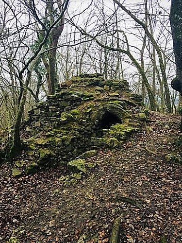
"Meet the Hermit of Resteigne":
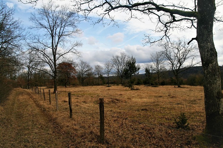
This trail takes you on a magnificent route between the villages of Resteigne and Belvaux via the Lesse Valley and the Bois Niau, via an equal mix of footpaths and minor roads and with the occasional ascent such as the route up to l’Ermitage (100 metres). Geologically speaking, it highlights one of the characteristic features of our Geoparc, its Devonian limestones.
Technical Information
Walking
Difficulty
Easy
Duration
2h35mn
(1d)
Dist.
9.8 km
Type of practice
Walking
Easy
2h35mn
Running
Medium
1h
Mountainbiking
Easy
40mn
Show more
Altimetric profile
Starting point
155
Rue de la Carrière
,
6927
Tellin
Lat : 50.09156Lng : 5.17739
Points of interest
Data author

proposed by
UNESCO Global Geopark Famenne-Ardenne
2 Place Théo Lannoy 5580 Rochefort Belgique
Ratings and reviews
To see around