Alert
Alerts
Crest circuit


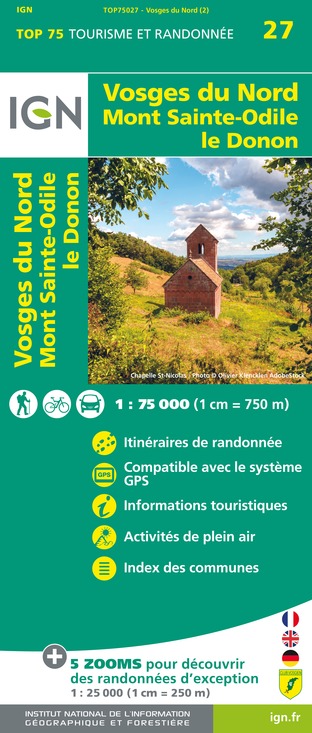
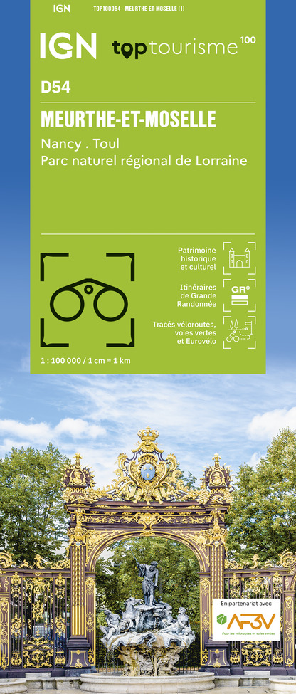
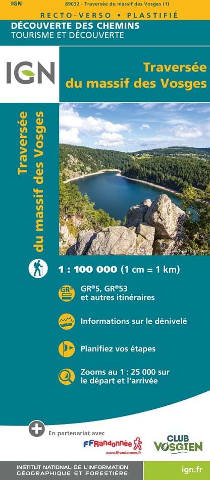
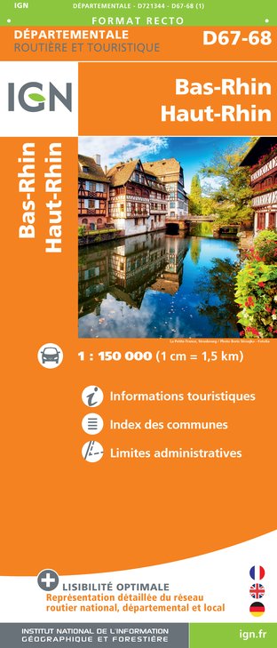
IGN cards


Description
The mountain-biking circuit through the superb Vosges forests of Walscheid combines discoveries of nature and heritage while offering experienced riders several interesting challenges, especially at the end of the route. Many views over the Zorn and Sarre valleys.
Technical Information
Altimetric profile
Starting point
Points of interest
Additional information
Producteur de la donnée
Ces informations sont issues de la plateforme SITLOR - Système d’Information Touristique - Lorraine
Elles sont synchronisées dans le cadre du partenariat entre Cirkwi, l’Agence régionale du Tourisme Grand Est et les membres du comité technique de Sitlor.
Contact
Tel : 03 87 03 11 82
Email : contact@tourisme-sarrebourg.fr
Data author


