Alert
Alerts
Hohwalschplatz

Description
While hiking on the GR53 (a hiking trail), folllow the signs with a red rectangle and a white stripe in the middle: by doing so, you will reach the Hohwalsch pass or "Hohwalschplatz" (as it is called by locals). It used to be a very popular pass between Alsace and Lorraine from Antiquity to Middle Ages. Nowadays, it is a place to relax and reconnect with nature, far away from traffic.
Technical Information
Altimetric profile
Date and time
- From 01/01/2025 to 31/12/2025 Ouvert le lundi, mardi, mercredi, jeudi, vendredi, samedi, dimanche
- From 01/01/2026 to 31/12/2026 Ouvert le lundi, mardi, mercredi, jeudi, vendredi, samedi, dimanche
Additional information
Producteur de la donnée
Ces informations sont issues de la plateforme SITLOR - Système d’Information Touristique - Lorraine
Elles sont synchronisées dans le cadre du partenariat entre Cirkwi, l’Agence régionale du Tourisme Grand Est et les membres du comité technique de Sitlor.
Contact
Tel : 03 87 25 51 02
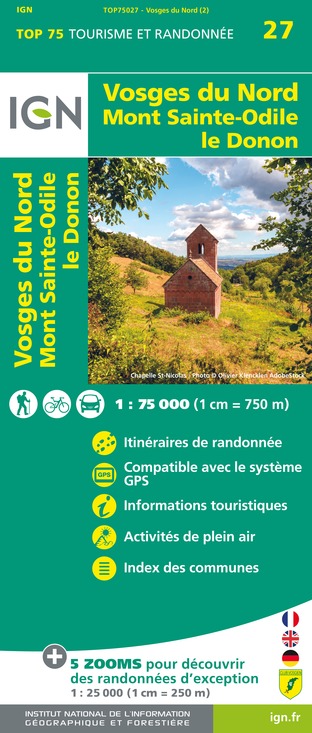
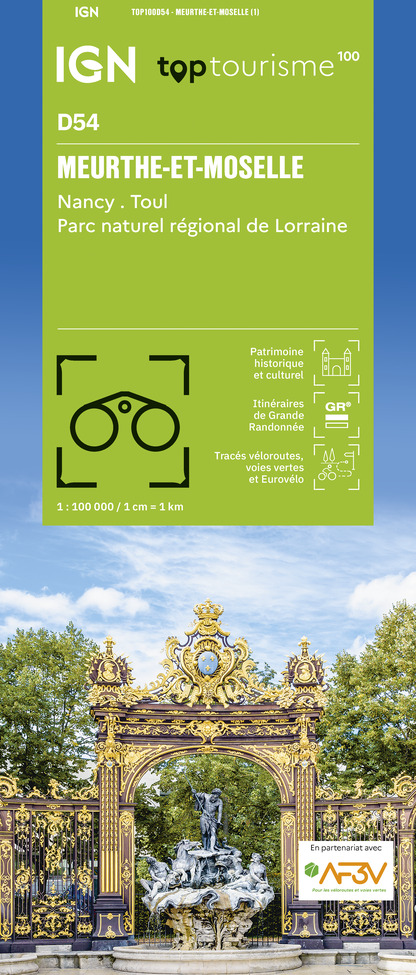
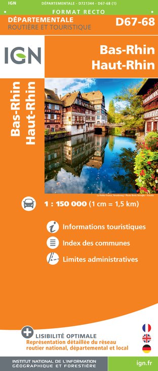
IGN cards


Data author
