Alert
Alerts
Notre Dame de Grace


Description
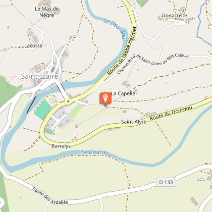
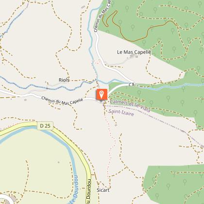
Treat yourself with an hour and a half getaway on the right bank of the Dourdou river, opposite the village of Saint-Izaire. This circuit is like going on an original pilgrimage to the 14th century chapel which is perched on top of a hill.The starting point is the Place de la Bascule (carpark under the bridge), cross the bridge.At the roundabout take to the left towards Broquiès. After approximately 50 m, head directly to the almost only tricky part of this walking route: a 100 m long steep path that leads to the foot of ND de Grâces Chapel. At the rear of the chapel, you will find a small enclosed area to relax and enjoy a scenic view over the village and the plain. A pilgrimage, well known in the region, takes place every year (nowadays, on August 15th) with an open air mass which is celebrated in the enclosed area.Carry on to the left towards the former hôtel Bellevue, leave the tarred road to ascend straight on the path called « chemin du château d’eau ».Keep walking until you reach a carved standing stone to the right, a notice board displays the history of the statue. Then, carefully follow the marking signs, for here several tracks head in all directions. The one which is to be followed is the most to the right, it is narrow, uneven, runs downhill and goes back to the Dourdou plain.Next, follow to the right the ancient railway until you reach a junction again on the right that rises to the chapel. Enjoy once more the view over the plain.Then retrace your way back to the starting point.
Technical Information
Altimetric profile
Starting point
Steps
Points of interest


Additional information
Public transport
Travel by bus or train: lio.laregion.fr/carpooling : BlaBlaCar, Rézo Pouce, Mobicoop, Idvroom, LaRoueVerte, Roulez malin
Advice
Box tree months are active from May to October. During the caterpillar phase, they feed on the leaves of box trees. They crawl down trees and move on long silken threads, although these threads are annoying when hiking they do not pose any health risk
Advised parking
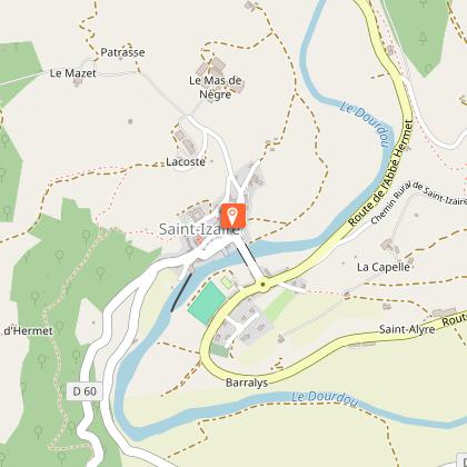
Place de la Bascule (carpark under the bridge)
Access
From Millau, follow the D992, then the D999 up to Vabres l’Abbaye, from Albi, follow the D999 up to Vabres l’Abbaye. Once in the village, proceed to the West via the D25. Saint-Izaire is located 16 km from Vabres l’Abbaye.
Arrival
Place de la Bascule, Saint-Izaire (carpark under the bridge)
Ambiance
From the village of Saint-Izaire, reach the opposite bank and ascend to Notre-Dame-de-Grâce, a restored medieval shrine that overlooks the Dourdou plain. A carved standing stone and the native home of Canon Hermet who was an expert on the subject, delineate this heritage loop which also follows an old railway.
Departure
Place de la Bascule, Saint-Izaire (carpark under the bridge)
Data author
