Alert
Alerts
Vallon de Prariond


Description
Reaching the Prariond refuge and the headwaters of the Isère river, at an altitude of over 2,000 metres, means discovering the exceptional world of the high mountains, ideal for observing high-altitude flora and fauna.
After passing through the noisy, narrow and vertiginous Malpasset gorges, you enter a wide valley dotted with small streams tumbling down the slopes and forcing you to cross a number of small bridges: children will be able to frolic happily at last!
A whole living world then awaits you, between the thousand colors of the mountain flora and the intermittent whistling of the marmots posted there like lookouts.
In the distance, you can make out the refuge where Meije, the janitor and her team, will welcome you to share a moment of conviviality over local and organic produce. And for an even greater experience, what better way than to stay overnight?
Memories guaranteed!
And the bravest can continue on to the Col de la Loze for a sneak peek at our Italian friends.
Technical Information
Altimetric profile
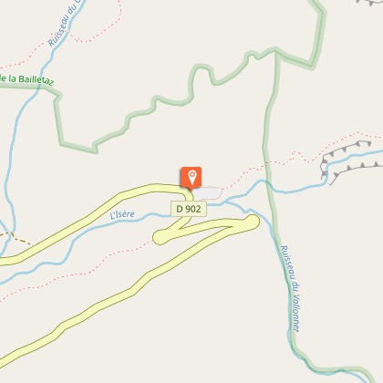
Starting point
Steps

Date and time
- From 01/06/2026 to 31/10/2026
- From 01/06/2027 to 31/10/2027
Additional information
Open period
From 01/06 to 31/10.
Subject to favorable snow and weather conditions.
Updated by
Agence alpine des territoires - 24/02/2026
www.agate-territoires.fr
Report a problem
Environments
Mountain location
Contact
Phone : 04 79 06 06 60
Email : info@valdisere.com
Website : https://www.valdisere.com/
Type of land
Not suitable for strollers
Topo guides and map references
Topo guides references :
Savoie Mont Blanc on foot" guidebook
Map references :
TOP 25 IGN - 3633 ET - Tignes / Val d'Isère
Location complements
5 km from the village of Val d'Isère on the road to the Iseran pass
Tricky passages
Secure passages in the Malpasset gorges. Take care with children and people prone to vertigo.
Guidebook with maps/step-by-step
0/ Parking du Pont Saint-Charles.
1/ Take the winding upward path before entering the Malpasset gorges. Beware of a few sheer passages which may impress those prone to vertigo.
2/ At the end of the gorge, the path runs flat until you reach the Prariond refuge.
3/ From the refuge, it's possible to continue towards the Col de la Lose (2957 m), which takes around 2 hours one way and involves a climb of +663 m.
4/ Return by the same route
Animals
No. Vanoise National Park
Data author
