Alert
Alerts
Tour de Haute Maurienne Vanoise - 10-day hike


IGN cards


Description
A beautiful itinerary from where you will discover the Haute Maurienne, on the edge of the Vanoise National Park. Set out to discover stone-built villages with their slate roofs.
DAY 1: Bramans (1240 m) - Refuge du Petit Mont Cenis (2180 m)
Possible intermediate stage at the Refuge du Suffet
Ascent +: 1290 m
Ascent -: 400 m
Duration: 4h45 (excluding breaks)
DAY 2: Refuge du Petit Mont Cenis (2180 m) - Gîte d'étape du Petit Bonheur (Bessans) - (possible intermediate stage at gite du Toët)
Ascent +: 810 m
Ascent - : 1213 m
Duration: 6h30 (excluding breaks)
DAY 3: Gîte d'étape Le Petit Bonheur (1725 m) to refuge des Evettes (via the Plateau d'Andagne)
Ascent +: 1400 m
Ascent - : 530 m
Duration: 6h (excluding breaks)
DAY 4: Evettes hut (2590 m) - Carro hut (via Ecot)
Ascent +: 811 m
Ascent - : 640 m
Duration: 4h30 (excluding break)
DAY 5: Refuge du Carro (2760 m) - Gîte d'étape le Petit Bonheur (via sentier Balcon - GR5)
Ascent + : 960 m
Difference in altitude - : 2000 m
Duration: 8h (excluding breaks)
DAY 6: Gîte d'étape Le Petit Bonheur (1702 m) - Refuge de Vallonbrun
Ascent +: 700 m
Difference in altitude - : 130 m
Duration: 4h (excluding break)
DAY 7: Vallonbrun hut (2272 m) - Plan du Lac door hut
Ascent +: 1130 m
Ascent -: 1000 m
Duration: 6h30 (excluding break)
DAY 8: From Refuge-Porte de Plan du Lac (2370 m) - Refuge de l'Arpont
Ascent +: 804 m
Ascent -: 870 m
Duration: 4h30 (excluding break)
DAY 9: From Refuge de l'Arpont (2309 m) - Refuges in the Plan d'Amont area
Ascent +: 950 m
Ascent -: 1026 m
Duration: 7h (excluding break)
DAY 10: From Plan D'amont refuges (2230 m) - Bramans (possibility of intermediate stage at Aussois)
Ascent +: 100 m
Ascent -: 1080 m
Duration: 4h (excluding break)
Technical Information
Altimetric profile
Starting point
Points of interest


Additional information
Updated by
Agence alpine des territoires - 01/09/2025
www.agate-territoires.fr
Report a problem
Environments
Mountain view
Mountain location
Contact
Phone : 04 79 05 91 57
Email : info@hautemaurienne.com
Website : https://www.haute-maurienne-vanoise.com
Type of land
Stone
Ground
Not suitable for strollers
Topo guides and map references
Map references :
IGN Top 25 maps
3534 OT - Three valleys - Modane
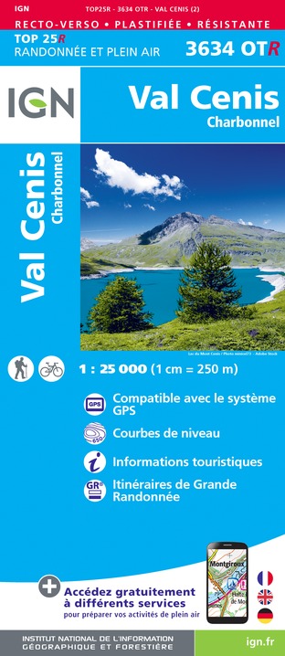
3634 OT - Val Cenis
3633 ET - Tignes Val d'Isère Haute-Maurienne
Location complements
IGN Top 25 n°3534 OT - Les trois Vallées Modane
IGN Top 25 - 3634 OT - Val Cenis
IGN Top 25 - 3633 ET - Tignes Val d'Isère Haute Maurienne
Car access and parking
A43 freeway towards Turin, exit n° 30 - Modane, then route départementale 1006 (ex RN6) towards Lanslebourg (10 km to Bramans )
Animals
No. Dogs not allowed on Vanoise side (see National Park perimeter). Accepted on the other side.
Data author
