Alert
Alerts
Itinéraire Cyclo : La Mauriennaise


Description
Discover a valley from which some of the world's best-known cols are climbed, with this route down the Maurienne valley and past some unexpected nuggets. Your adventurous efforts will be highly rewarded!
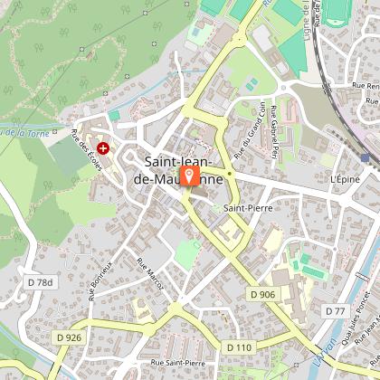
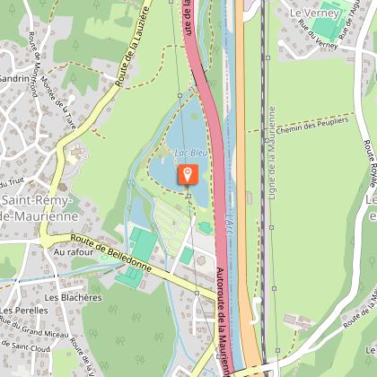
Step onto your cycle and discover the little-known Maurienne on a valley-bottom route that's full of surprises! Right from the start, you'll find yourself in a magnificent setting of high mountains, with the 17 Montvernier switchbacks to your right, and the imposing La Croix des Têtes peak, a rugged relief that makes you want to climb it. Look up and you'll see the occasional "basejumper" soaring from its summit. Keep your eyes peeled! Then on to Saint-Jean-de-Maurienne, the valley's historic capital, and admire its 11th-century Saint-Jean-Baptiste cathedral and its pretty cloister, listed as a Historic Monument. Pick up the pace to pass La Chambre and take a break at the Saint-Remy-de-Maurienne leisure park. Then head due north to Aiguebelle, the gateway to the Maurienne region, after enjoying the Hurtières lake. You arrive in Chamousset, in the heart of the Combe de Savoie.
Along the way, you'll be thrilled to see the start of world-famous climbs over legendary passes such as the Galibier, Télégraphe, Croix de Fer, Glandon, Madeleine and Grand Cucheron.
Technical Information
Altimetric profile
Starting point
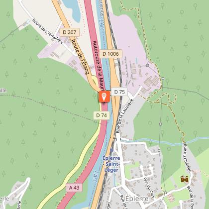
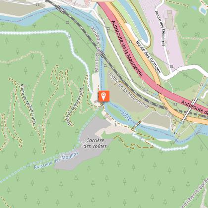
Points of interest
Additional information
Updated by
Agence alpine des territoires - 08/12/2025
www.agate-territoires.fr
Report a problem
Environments
In the country
Mountain view
Tips
This route can be taken in either direction
Open period
All year round daily.
Subject to favorable snow and weather conditions.
Contact
Email :
accueil@maurienne-galibier.com
info@portedemaurienne-tourisme.com
Website : https://www.velo-maurienne.com/
Topo guides and map references
Map references :
Vélo de Route" map of "La Maurienne, the world's largest cycling area" published by Maurienne Tourisme and available from all Maurienne Tourist Offices (subject to availability).
Animals
Yes
Data author
