Alert
Alerts
Type of practice
Walking
Very easy
2h45mn
Presentation
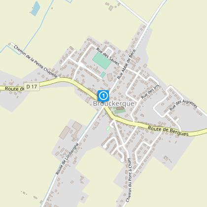
Map
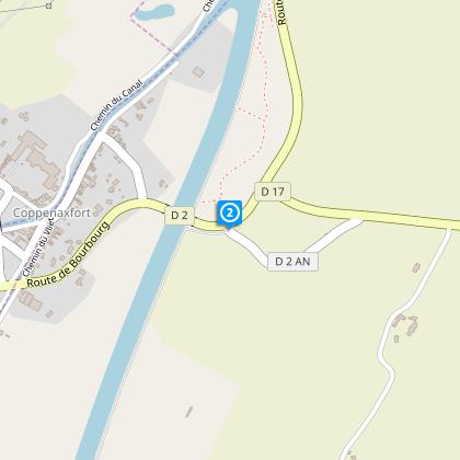
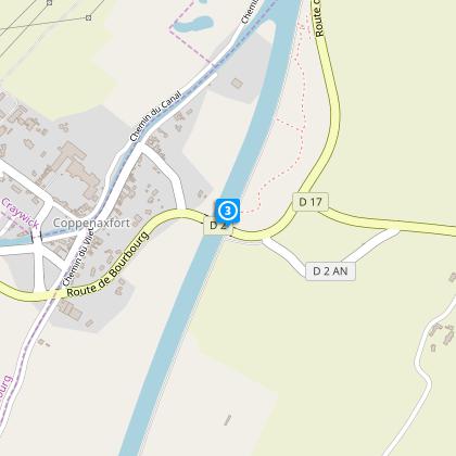
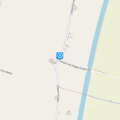
Steps
Points of interest
Cirkwi brief's
Ratings and reviews
See around
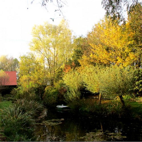
Circuit des éclusettes


Credit : Département du Nord
The Cirkwi brief
Discover Flandre Maritime: A Unique Waterways Trek
Embark on a journey through the heart of Flandre Maritime, where an intricate network of drainage ditches has tamed the once flood-prone lands. The Circuit des Eclusettes offers a glimpse into the delicate balance between human ingenuity and nature’s will. Small paved roads run through this picturesque route, making it accessible year-round. However, the true beauty of the area unfolds from March to October, when the seasonal transition paints a vibrant tapestry of agricultural mosaics and nature's awakening. Brought to you by Nord Tourisme, this circuit promises a serene yet exhilarating experience, inviting you to immerse yourself in the tranquil countryside.
Essential Trek Stats Simplified
The Flandre Maritime walk spans approximately 11.08 km, with the highest elevation reaching just 9 meters above sea level. This route encompasses a minimal positive elevation change, between 43 to 44 meters, underscoring its accessibility for most walkers. Given these parameters, the journey is relatively flat, making it especially suitable for those looking for a leisurely walk without the challenge of significant climbs or descents. This technical briefing aims to set realistic expectations for those planning to venture on this trek, indicating it as a low-intensity but highly rewarding experience.
Seasonal Walking Tips
As your local guide, I recommend embarking on this nature-filled journey from March to October to fully appreciate its beauty. The Flandre Maritime's mild weather during these months complements the flourishing landscapes and biodiversity. Always carry water, wear sturdy shoes for the paved paths, and remember to dress in layers, as the weather can be unpredictable. Despite the trek's flat terrain, checking the forecast is prudent to avoid rainy days. Safety comes first; letting someone know about your trip and expected return time is always a good practice, especially when exploring rural areas.
Heart of Maritime Flandre
Brouckerque, situated in the vibrant region of Flandre Maritime, is steeped in history. This area, known for its strategic importance in controlling floodwaters through an elaborate system of éclusettes (small locks) and drainage ditches, has shaped the land and the lives of its inhabitants for centuries. The collaboration between human innovation and nature’s forces has cultivated not only a rich agricultural tapestry but also a unique cultural heritage. This trek is more than a walk; it's a journey through time, bearing witness to the enduring bond between the land and its people.
Perfect Walking Weather Overview
The Flandre Maritime region enjoys a temperate maritime climate, characterized by mild temperatures and moderate rainfall throughout the year. The best months to visit are between March and October, when you can expect warmer temperatures and less rainfall, making it ideal for outdoor activities like walking the Circuit des Eclusettes. July and August are typically the warmest months, but even then, the weather remains pleasant and not excessively hot, ensuring a comfortable trekking experience. Preparing for variable weather by bringing a waterproof jacket and sun protection is advisable, as weather conditions can change quickly.
Automatically generated.
Technical Information
Walking
Difficulty
Very easy
Duration
2h45mn
Dist.
11 km
Type of practice
Walking
Very easy
2h45mn
Show more
Altimetric profile
Starting point
Eglise
,
59630
BROUCKERQUE
Lat : 50.9539918702Lng : 2.29206757438
Steps
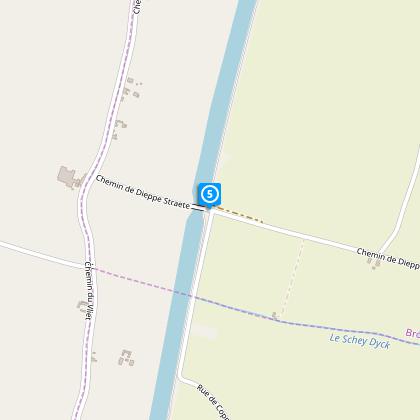
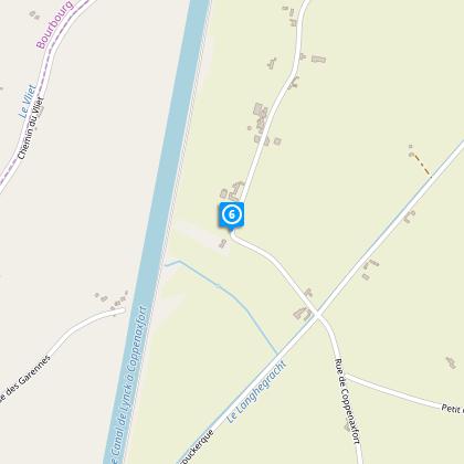
Points of interest
Data author

Ratings and reviews
To see around