Alert
Alerts
Silt and Laqueuille Rock
IGN cards


Description
Departing from the beautiful village of Dienne and passing by the Drils mill, a challenging route with views over the Santoire valley and the Limon plateau.
Technical Information
Altimetric profile
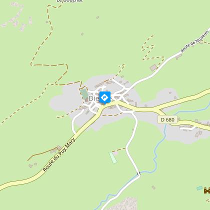
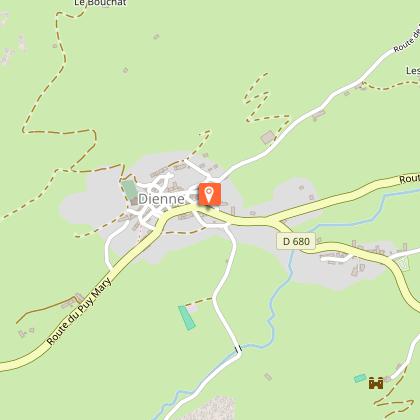
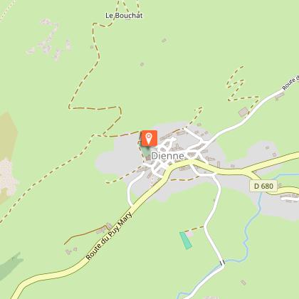
Starting point
Steps
Points of interest

Additional information
Updated by
Hautes Terres Tourisme - 24/11/2025
www.hautesterrestourisme.fr
Report a problem
Environments
In the country
Mountain view
Close to GR footpath
Panoramic view
Type of land
Ground
Hard coating (tar, cement, flooring)
Tips
-For your safety, please check the weather forecast before setting off on your hike. -To preserve the environment in which you are located, please avoid leaving garbage in nature. -Remember to take equipment adapted to the weather conditions and the hiking itinerary (hiking boots, water bottle, cap, sunglasses, jacket...).
Contact
Phone : 04 71 20 22 62
Website : https://www.hautesterrestourisme.fr
Open period
All year round daily.
Subject to favorable weather.
Guidebook with maps/step-by-step
Start - Opposite La Poste, in Dienne. Reach the church (Romanesque style) and the cross-country ski center. When you reach the church, climb up the asphalt path, which becomes gravelled, passes the cemetery and rises up the sides of the valley. cemetery and rises up the sides of the valley. Cross a fence and climb up into the pastures. Pass a buron, cross the Grouze stream and continue around bends. The slope becomes gentler. Spot La Croix du Gendarme.
1- At the foot of the cross, turn left. Follow a well-marked track, cross the fence and continue straight ahead on the track which descends into the lawn. Go along the fence on your right.
2- Continue down a stony slope, crossing three successive fences before reaching the village of Drils (before leaving the grassy track, take the time to stop at the Drils mill).
3- Turn left, then at the next crossroads leave the road and go straight ahead on a grassy track which joins the D680.
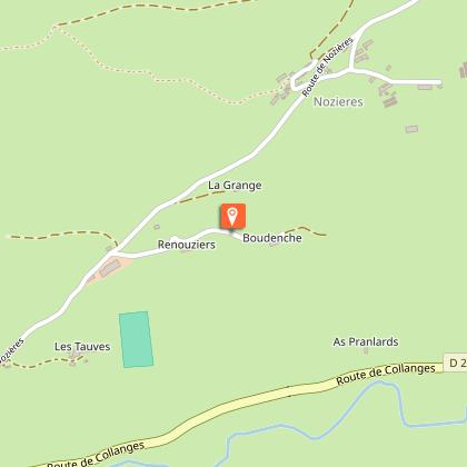
4- Cross the road, turn right and take a grassy path down to the valley floor. Turn right, cross the river and climb up into the estive. Pass by a high-altitude barn and continue up into the meadow until you cross a fence. Continue along a damp, stony path lined with ash trees. Reach the tarmac road and turn left towards Laqueuille Haute.
5- At the "patte d'oie", [possibility of turning right to reach the "rocher de Laqueuille": add 2 km and 45 min to the original itinerary], turn left towards Laqueuille Basse. Continue along the road, cross the Santoire and reach the entrance to Dienne. Turn left to return to the starting point.
Animals
No
Data author
