Alert
Alerts
Hiking itinerary: Refuge and Lac d'Anterne


Description
At the foot of the Fiz mountain range, discover a mountain pasture along the waterside. Around the Lake of Anterne, sheep and marmots enjoy their time in the pasture.
Technical Information
Altimetric profile
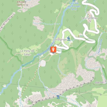
Starting point
Points of interest


Date and time
- From 01/06/2026 to 30/09/2026
- From 01/06/2027 to 30/09/2027
Additional information
Environments
Lakeside or by stretch of water
Mountain location
In a nature reserve
Updated by
Haut-Giffre Tourisme - 03/01/2026
www.haut-giffre.fr
Report a problem
Contact
Phone : 04 50 34 49 36
Email : contact@haut-giffre-tourisme.fr
Website : http://www.valleeduhautgiffre.fr
Type of land
Stone
Ground
Grit
Not suitable for strollers
Location complements
Starting point from Lignon, end of the road passing by the waterfall Cascade du Rouget.
Guidebook with maps/step-by-step
The departure point is Lignon car park, above the Rouget waterfall (elevation 1,180 metres). You'll pass the very beautiful waterfalls of Sauffaz and Pleureuse, then continue left towards the Collet d'Anterne. The path takes you gently up to the Anterne refuge (1,810 metres).
From the refuge, continue south. The path is quite steep to start with. It takes you to Anterne lake where you can admire the Fiz mountains. To return, take the path on your right as far as the "little pass" of Anterne, from where you'll enjoy a stunning view of the Cirque des Fonts. From the "little pass", the path down to the chalets of Les Fonts is fabulous. Then take the vehicle track for 2 km down to Salvagny. Leave the track, turning left onto a signposted path which leads to the Oua bridge, then the Fardelay chalets. Then take the path that cuts across the hairpin bends in the road to join the Rouget waterfalls. Path not practicable for pushchairs.
Animals
No
Data author
