Alert
Alerts
Le ravin des Merles
Description
From Puy-Saint-André, this little loop rises to the heights of Puy-Chalvin and then descends to Pierre Feu, following ancient paths steeped in history, where you'll discover chapels and frescoes, canals, terraces and low walls...
From the Puy-Saint-André parking lot, turn right up the road and, at the hairpin bend, cross opposite onto the "sentier du facteur" (letter carrier's path).
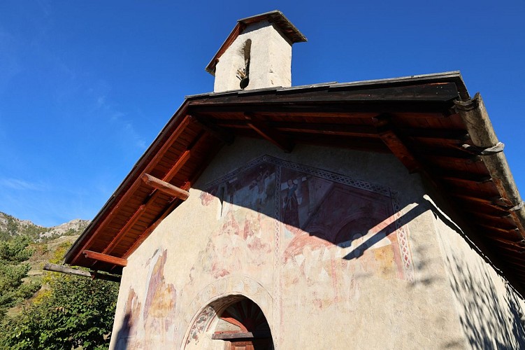
Cross the road and follow the path completely to the left. At the entrance to Puy Chalvin, take the right-hand path, pass the communal oven (shingled roof), the wash-house and come to a fork in the road. Don't miss the Sainte Lucie chapel (17th-century frescoes).
Go down the passage on the left (stairs), cross the road and go opposite. Go through two wooden gates (goat pen), cross a forest track and continue downhill to reach a fork in the road.
Turn left, ignoring the path opposite towards Sachas, and follow the flat path for 100 m to a new intersection.
(You can continue straight on to Puy St André, reducing the circuit to 1 h 15).
Descend to the right into the Ravin des Merles (Demoiselles décoiffées), cross the stream and turn left to follow the gardens at the entrance to Pierre Feu. Cross the road and, after the four banal, arrive at Place de la Fontaine. Opposite, between two houses, a grassy path follows an old irrigation canal to a small, steep road.
Go up a few metres, turn left onto the "rue du Goutaud" for 50 m and then right again towards the fountain and the hamlet of Goutaud.
Go straight on past the chapel, cross the small Goutaud stream and climb up into the aspen woods, ignoring the various paths to the left and right.
Turn left at the intersection with a wide path to continue uphill and, after the Oratoire Ste Madeleine, come out onto the village road (D35).
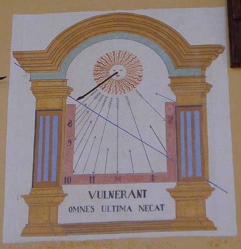
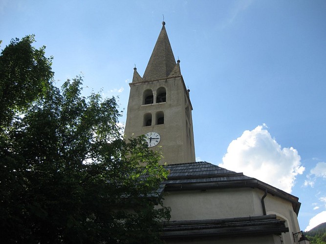
Go down a few metres, take the first left into the village (quartier du Caire) and then the first right, which passes the "La kimpina" house (sundial). Go around the church and, opposite the cemetery, take the right-hand path back to the parking lot.
Technical Information
Altimetric profile
Starting point
Points of interest
Date and time
- From 15/05/2026 to 15/11/2026
- From 15/05/2027 to 15/11/2027
Additional information
Environments
Mountain location
Updated by
Office de tourisme des Hautes Vallées - La Grave - La Clarée - L'Izoard - 15/04/2026
www.hautesvallees.com/la-grave/
Report a problem
Contact
Phone : 06 07 07 31 08
Email : izoard@hautesvallees.com
Website : https://www.hautesvallees.com/lizoard/
Facebook : https://www.facebook.com/Izoardtourisme/
Topo guides and map references
Map references :
IGN map no.: 3536OT Briançon
Location complements
From the N94 marking the entrance to Briançon, turn left at the traffic lights towards Puy-Saint-André via the D35.
Parking lot at "Soubre le Puy", on the right as you leave Puy St André, in the direction of Puy Chalvin.
Animals
Yes
Data author
