Alert
Alerts
Hiking route : the routes of the Epine

Description
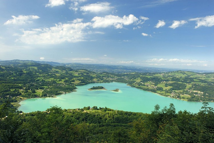
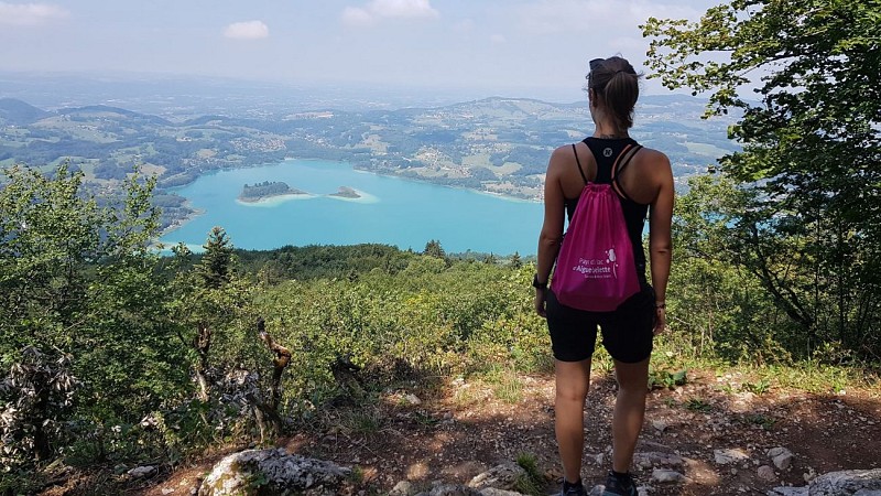
A hike to touch history with the tip of your boot—well shaded and offering rare yet stunning views of the lake…
IMPORTANT: The section between the Saint-Michel and Crucifix passes is closed in August 2026.
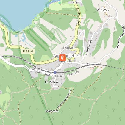
Begin your journey through time starting from the village of Aiguebelette-le-Lac.
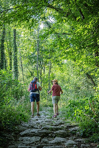
First, a small road climbs towards the Épine mountain. As it turns into a stone-paved path, you step into another era. Your steps will then lead you onto the ancient Roman road.
You now have real stone slabs under your feet all the way to the Col du Crucifix. This Sardinian route was developed by the House of Savoy in the 18th century.
Then, you pass through the Col Saint-Michel. You won’t be the first, as it was the obligatory passage for travelers from Antiquity until the 17th century. It was watched over by a temple, which later became a chapel.
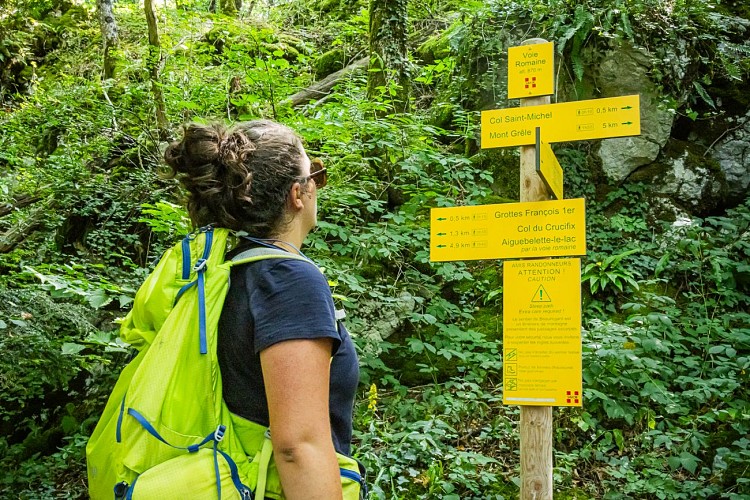
Even François The First passed through here. It is said that, surprised by a storm, he took refuge in the cave that bears his name below. If the thunder rumbles, you’ll know where to hide!
This hike can be done in several ways. Three variants are provided in the GPX files below.
Technical Information
Altimetric profile
Starting point
Points of interest

Additional information
Contact
Phone : 04 79 36 00 02
Email : info@lac-aiguebelette.com
Website : http://www.lac-aiguebelette.com
Open period
All year round daily.
Environments
In the country
Mountain location
Less than 10 min walk from a train station
Type of land
Ground
Not suitable for strollers
Topo guides and map references
Topo guides references :
Guide Les voies de l'Épine A1 (Hiking map of the Pays du Lac d'Aiguebelette, available at the Tourist Office, at the Maison du Lac).
Map references :
TOP 25 IGN - 3332 OT - Chartreuse Nord
Hiking map of the Pays du Lac d'Aiguebelette (€3, available at the Tourist Office, at the Maison du Lac)
Updated by
Office de Tourisme Lac d'Aiguebelette - 10/08/2026
www.lac-aiguebelette.com
Report a problem
Tricky passages
1. Rocky escarpment at the beautiful viewpoint over the lake at the location known as "Rocher du Corbeau": caution with children!
2. The trail of the Grande Dressière is steep and can be slippery. In wet weather or when hiking with children, consider doing the route in reverse: ascend via the Grande Dressière and descend via the Rocher du Corbeau.
Guidebook with maps/step-by-step
Start: Aiguebelette-le-Lac Church
1/ Take the road toward "Les Allemands", then immediately turn left onto a small road that turns into a path heading toward Côte Épine.
2/ From the "Les Allemands" parking lot, enter the forest via the stony path.
3/ At the first hairpin turn, take the Roman road (straight ahead) to reach the "Rocher du Corbeau" viewpoint.
4/ Continue toward the Col du Crucifix.
5/ At the Roman Road crossing, continue climbing toward the Voie Sarde.
6/ At the Voie Sarde crossing, join the path to the Col du Crucifix.
7/ From the Crucifix, turn right toward the Col Saint-Michel.
8/ For the descent, head toward the François I Cave.
9/ Leave the main path to return to the "Les Allemands" parking via the Grande Dressière Trail (caution, this trail is steep and can be slippery).
Animals
Yes
Data author
