Alert
Alerts
Type of practice
Walking
Easy
3h20mn
Presentation
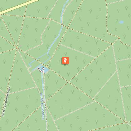
Map
Points of interest
Cirkwi brief's
Ratings and reviews
See around
Ferrières en Brie


Credit : Chloe Chauchet
The Cirkwi brief
Discover Ferrières-en-Brie: A Nature-Filled Getaway
Embarking on the journey through Ferrières-en-Brie offers not just a hike but a narrative of nature, history, and art combined. Curated by the Office de Tourisme de Marne et Gondoire, this route promises an encapsulating experience starting from the historical Eglise Saint Rémy. Imagine wandering through ancient streets, glimpsing the majestic Château de Ferrières, and being enveloped by the lush Forest of Ferrières. This expedition is more than a walk; it's a journey through time, embellished with natural and architectural marvels. Perfect for the adventurous soul seeking a serene yet enriching escape within the Ile-de-France.
Technical Insights for Hikers
The trek spans approximately 13.8 kilometers, integrating a mix of paved paths, forest trails, and minor roads. Elevations fluctuate between 98 and 120 meters, crafting a somewhat gentle terrain with a total positive elevation of around 223 meters. This suggests a moderately easy hike, suitable for most fitness levels. The route efficiently guides adventurers past key landmarks, ensuring a coherent and engaging experience. With careful planning, this pathway is accessible for a broad spectrum of hikers, offering both leisurely walks and opportunities for more vigorous exploration.
Seasonal Tips for Trail Wanderers
For an optimal experience, preparation is key. Spring and autumn present the forest in its full splendor, with vibrant foliage and comfortable temperatures. Summers are lush, but hydration is crucial as the sun can intensify in open areas. Winters, while serene, require caution due to potential slippery paths. Year-round, sturdy footwear is advised to navigate the mixed terrains. Always check the weather before departing and consider carrying a map or GPS device, as mobile signals can be inconsistent within the forest's embrace.
Exploring Historical Ferrières-en-Brie
Located in the heart of Seine-et-Marne, Ferrières-en-Brie is a testament to France's rich history and cultural heritage. From the Eglise Saint Rémy, with origins steeped in time, to the grandeur of the Château de Ferrières, the town offers a glimpse into both the past's grandiosity and the humbleness of rural life. The forest itself, once the hunting ground of nobility, now serves as a communal treasure, showcasing biodiversity and the beauty of natural conservation efforts. This region's tale weaves through cycles of prosperity, war, and rejuvenation—a narrative echoed within its landscapes and monuments.
Weather Guide for Forest Adventures
The climate in Ferrières-en-Brie balances between mild and moderately continental, featuring distinct seasons. Best times to visit would be late spring through early autumn, when weather conditions are most favorable for outdoor activities. Average temperatures range from cool to warm, with rainfall evenly distributed throughout the year but peaking during spring and autumn. Preparation for variable weather will enhance your journey, ensuring comfort and safety as you traverse this enchanting territory.
Automatically generated.
Technical Information
Walking
Difficulty
Easy
Duration
3h20mn
Dist.
14 km
Type of practice
Walking
Easy
3h20mn
Show more
Altimetric profile
Starting point
Eglise Saint Rémy
,
77164
Ferrières-en-Brie
Lat : 48.82118Lng : 2.704164
Points of interest

Data author

Ratings and reviews
To see around