Alert
Alerts
Plouay Circuit from Manehouarn to Coët Fao
Description
Starting point: Plouay bus station Rue Hélène Le Chaton. Departure sign on site. Yellow markings.
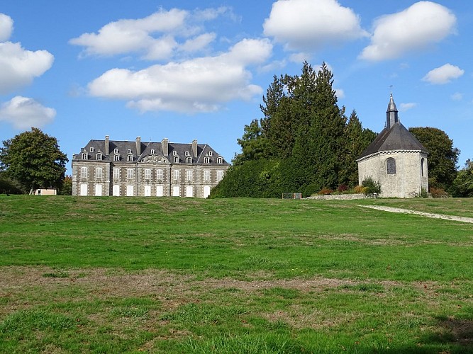
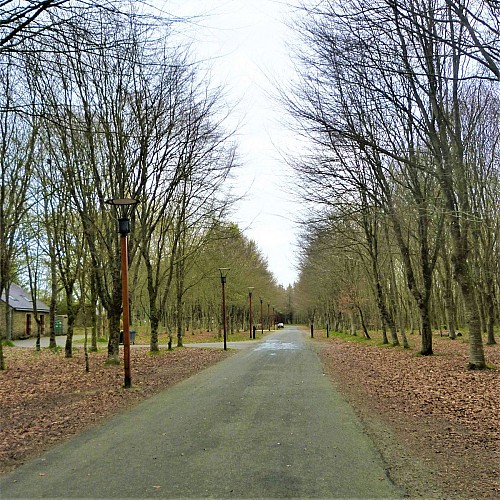
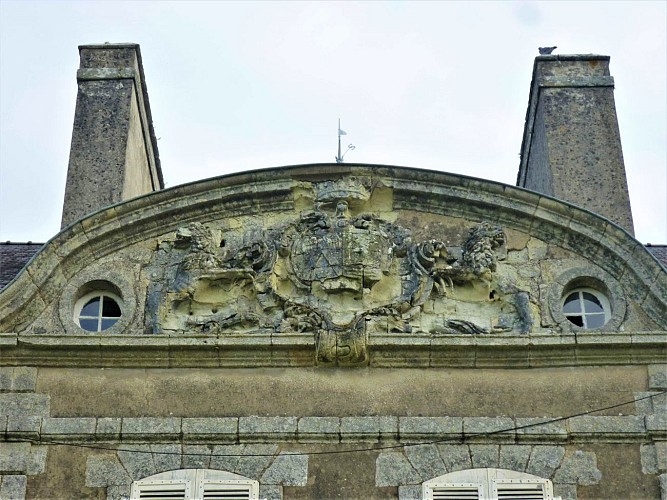
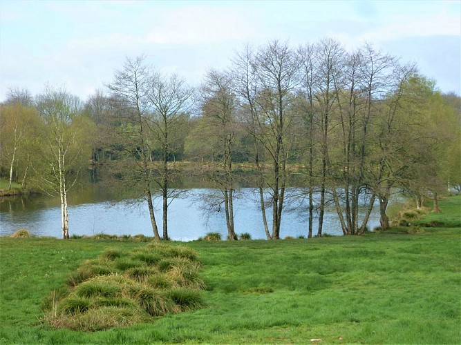
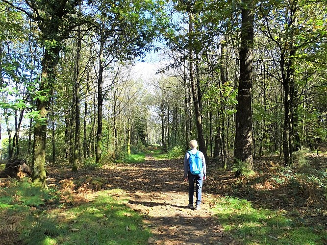
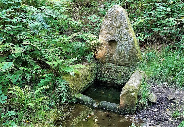
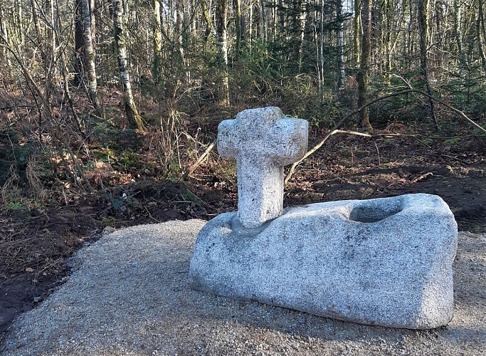
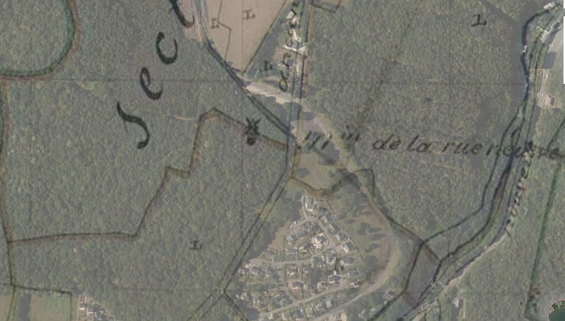
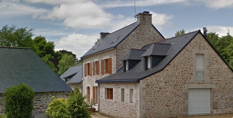
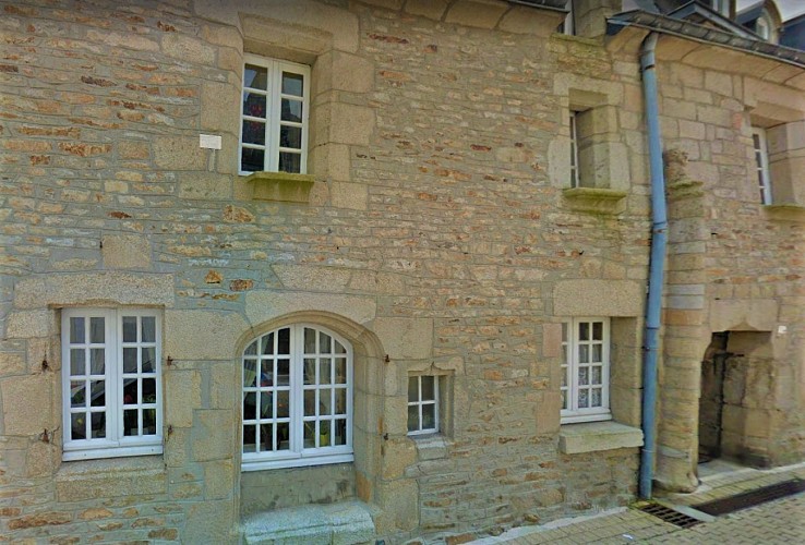
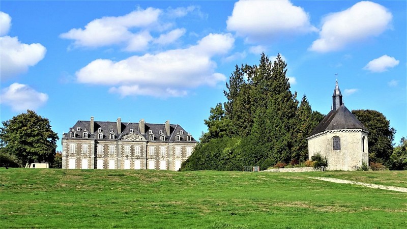
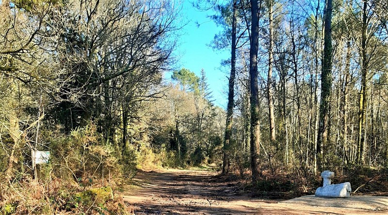
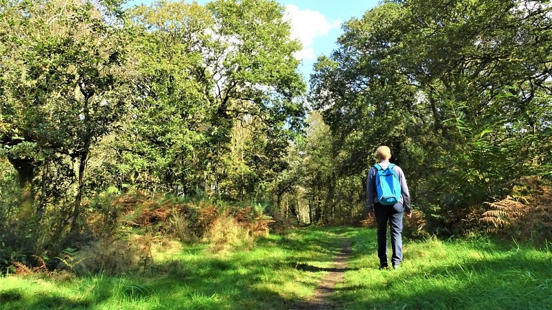
Following the upper part of the Tro Ploue, this route takes in the Domaine de Manehouarn and the Coët Fao woods. A nature and heritage walk just a stone's throw from the town of Plouay.
You are walking in natural, private sites. Remain on the marked paths, respect nature, infrastructures and cultivated areas. For your comfort and safety, wear suitable hiking clothing.
Certain allergenic species may be present along hiking trails, such as grasses, birch, alder, mugwort, ragweed, and olive trees. To plan your outings, you can consult the pollen monitoring data for the Lorient Agglomeration area and the recommended precautions to take via this link: https://www.lorient-agglo.bzh/actus/suivi-des-pollens/