Alert
Alerts
Canayère Trail
Description
A very varied route, crossing beautiful, ever-changing forests, with rocky areas and viewpoints overlooking the gorges, the Dourbie, the Lingas and the St-Guiral. You won't get bored!
Hike this trail offering magnificent views of the Trévezel gorges and the village of Trèves perched above them. The landscape evolves with a changing rock, vegetation, and architecture, blending natural beauty with local heritage. A true feast for the eyes at every step. Enjoy your hike!
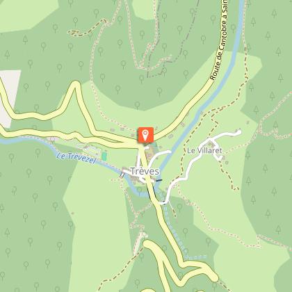
Starting point: Trèves church square
Duration: 3 hours
Distance: 6.2 km
Mountain bike access: Not suitable
Elevation gain: 428 m
Trail markers: Yellow
Pets must be kept on a leash.
The trail is featured on the Massif de l'Aigoual map guide, available for purchase at the Mont Aigoual Causses Cévennes Tourist Office.
Find the route on the Cévennes National Park website.
Technical Information
Altimetric profile
Starting point
Steps


Points of interest

Additional information
Updated by
Office de Tourisme Mont Aigoual Causses Cévennes - 11/12/2025
Report a problem
Open period
All year round daily.
Contact
Phone : 04 67 82 64 67
Email : maisondelaigoual@sudcevennes.com
Website : https://destination.cevennes-parcnational.fr/trek/39571-Canayere
Type of land
Rock
Stone
Animals
Yes
