Alert
Alerts
Les Pas de Cyrano à Bergerac


Description
A nice walk in the heart of the city! The route is marked out with information to know everything about Bergerac: all you have to do now is to walk in "Les Pas de Cyrano"!
Technical Information
Altimetric profile
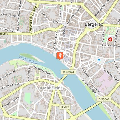
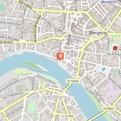
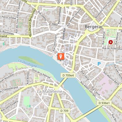
Starting point
Steps
Points of interest


Additional information
Balisage
Yellow
Typologie de l'itinéraire
Loop
Thèmes
Historical
Contact
Fixed telephone : +33 5 53 57 03 11
Quai Cyrano - Office de Tourisme de Bergerac - Sud Dordogne
e-mail : contact@quai-cyrano.com
Quai Cyrano - Office de Tourisme de Bergerac - Sud Dordogne
Data author
