Alert
Alerts
Type of practice
Walking
Easy
1h
Nordic's walk
Easy
1h
Running
Easy
45mn
Presentation
Description
Map
Points of interest
Ratings and reviews
See around
Around Concevreux
Credit : OT Pays de Laon
Description
In the mid-12th century, the Latin name for the commune seems to have been Curtis Superior – rather posh, isn't it? – but it is now known as Concevreux.
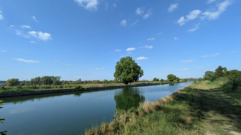
Almost bordering the Marne (we are here in Champagne Picarde), its location near the Chemin des Dames and in the Aisne valley made it a rear base for French troops during the First World War.
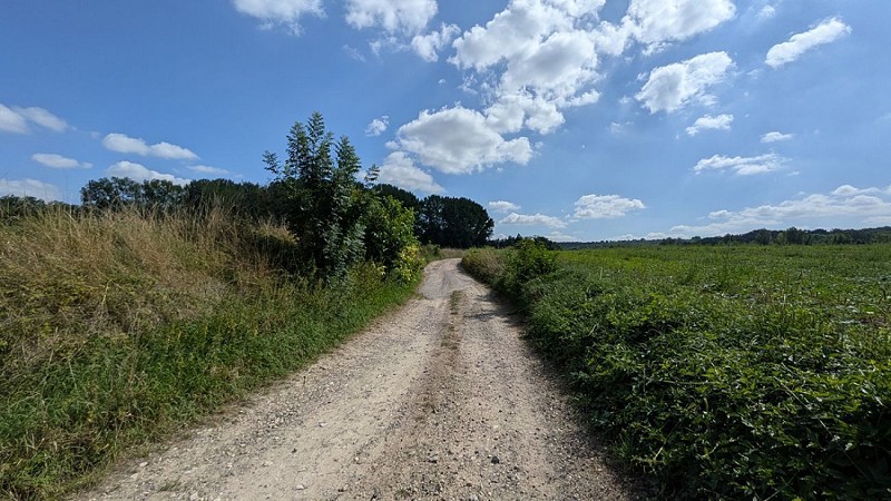
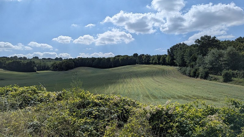
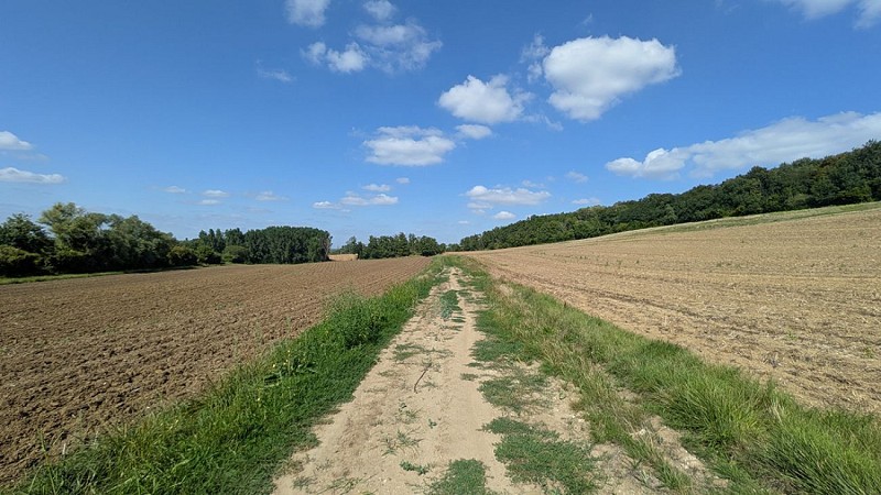
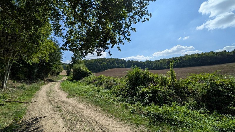
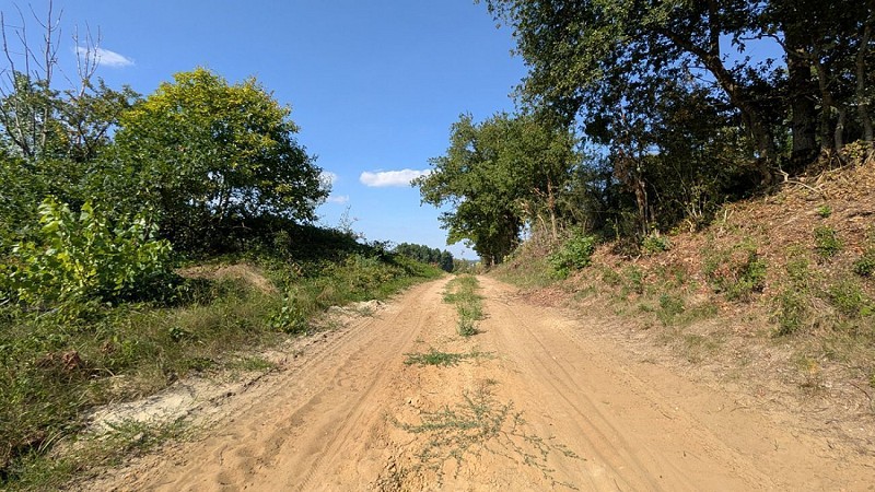
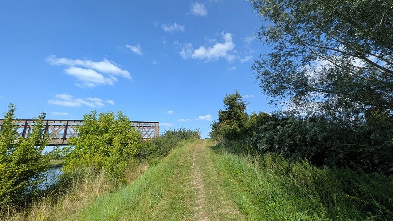
This walk will take you to the outskirts of the Petit Marais area, towards the heights overlooking the town, before returning to the church along the canal running alongside the Aisne.
Enjoy your walk!
Technical Information
Walking
Difficulty
Easy
Duration
1h
(1d)
Dist.
4.2 km
Type of practice
Walking
Easy
1h
Nordic's walk
Easy
1h
Running
Easy
45mn
Show more
Altimetric profile
Starting point
7
Place de l'Église
,
02160
Concevreux
Lat : 49.3767Lng : 3.78891

Animals
Yes
Data author

proposed by
Office de tourisme du Pays de Laon
Place du parvis Gautier de Mortagne 02000 LAON France
Ratings and reviews
To see around