Warnung

Warnungen

In der Umgebung sehen
Mehr sehen
Öffnen
Schließen
Anzeigen
Anzeigen
Anzeigen
Anzeigen
Anzeigen
Anzeigen
Anzeigen
Anzeigen
Anzeigen
Anzeigen
Anzeigen

Oups... Es scheint, dass Cirkwi keine Berechtigung hat, Ihren Standort zu verwenden.

Präsentation
Karte
Sehenswürdigkeiten
Bewertungen und Rezensionen
In der Umgebung sehen

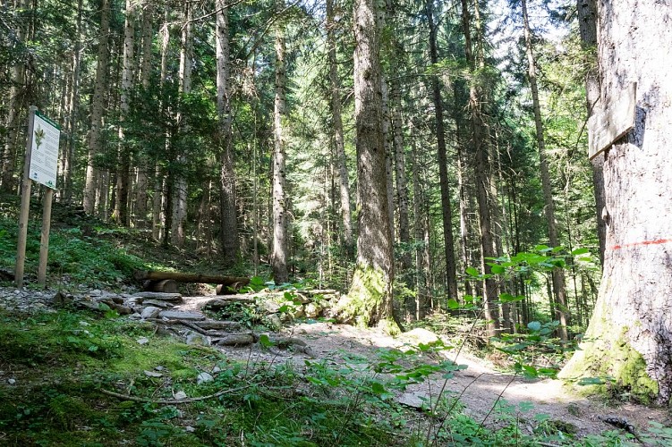
Sentier pédestre : le Sapin Président - depuis le Grand Arvet
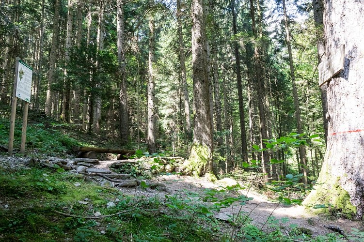
Sentier pédestre : le Sapin Président - depuis le Grand Arvet
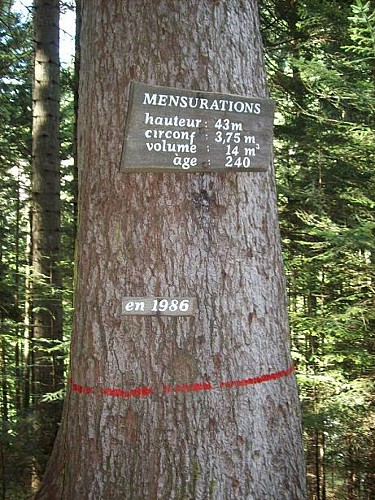
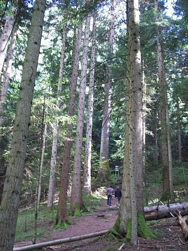
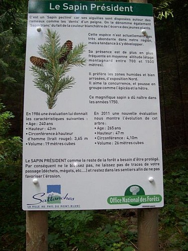

Technische Informationen

Wandern
Schwierigkeit
Sehr einfach
Dauer
1h
Entfernung
1.6 km
Mehr anzeigen

Höhenprofil

Ausgangspunkt

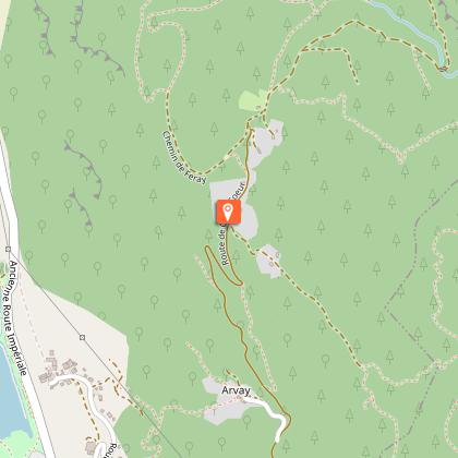
Départ : parking du Grand Arvet route de Crève-Coeur , 74700   Sallanches
Lat : 45.957348Lng : 6.648113

Sehenswürdigkeiten

image du object

Hiking Trail: Véran via Besseray

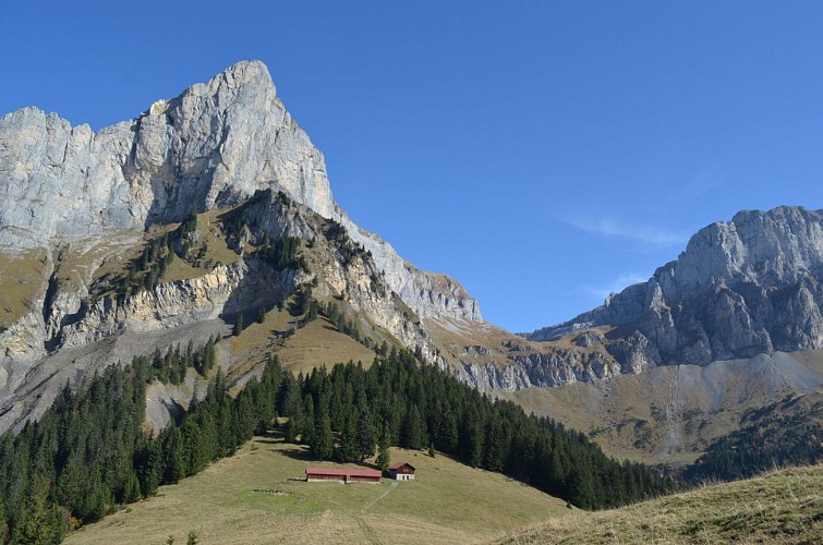
This extended version of a must-do hike follows a well-maintained, shady forest track. At the end, the Véran valley opens up before you, framed by the dramatic cliffs of Croix de Fer and its beautiful mountain pastures.Starting from the Besseray car park in Saint-Martin, this hike gradually climbs towards the Véran mountain pastures. It begins along the semi-paved Crève-Cœur road, passing through the hamlets of Les Plagnes, Petit-Arvet and Grand-Arvet. The climb then continues along a forest track winding its way up the mountainside. The trees provide welcome shade along the route, while several points of interest add to the experience, including the Sapin Président, an impressive tree well worth the short detour, especially with children. After crossing the Crève-Cœur stream, the slope becomes slightly steeper for a short stretch before easing back into a more regular ascent. The track continues through the forest until a final clearing, where the Arpenaz stream announces your approach to the mountain pastures. As you approach Véran, the mountain becomes a place of life and work too. Cows and sheep spend the summer here under the care of the alpine herders. The cows come down each day to be milked near the refuge, where butter, tomme, sérac, Abondance cheese and, depending on the year, raclette are made on site. These products are also available to buy here – the perfect opportunity to take home a little taste of the mountains! A few more steps and the Véran refuge comes into view, nestled in a beautiful mountain setting. Here, the forest finally gives way to open mountain pastures and the spectacular Véran valley, dominated by the cliffs of Croix de Fer. Staffed during the summer season, the refuge makes a pleasant stop for hikers wishing to enjoy this beautiful mountain environment for a little longer, or even spend a night at altitude. For those wishing to extend their hike, several routes also start from the Véran mountain pastures, including the Tête de Lassy and, for experienced hikers, the Cheminée de Monthieu and Tête du Colonney.

départ : parking du Besseray route de crève coeur 74700 Sallanches
- Sallanches TOURISME -
Consulter
image du object

Hiking Trail: La Tête de Lassy (1653 m) from Véran

A small and pleasant peak above the Véran pasture, easily accessible from the refuge to all walkers. For those who love heights, there is a higher path via Le Lançoir, from the Cascade d'Arpenaz (waterfalls).From the Véran mountain pasture, the trail passes by the mountain hut before gently climbing toward the Tête de Lassy. It winds along the edge of the forest and then into its heart, on a steady and pleasant ascent. After about thirty minutes, the trail reaches this small peak perched at an elevation of 1,653 meters. Upon arrival, the view opens up, offering a magnificent panorama of the Sallanches Valley and the Aravis Range. A great way to gain some elevation without undertaking a long climb! The return trip follows the same route. For hikers looking for a more challenging alternative, a more exposed route via Le Lançoir also leads to the Véran mountain pasture from the area around the Arpenaz waterfall. Walking times are approximate and do not include rest breaks. Hike safely! This description provides a general guide but is not a substitute for a 1:25,000 hiking map or other guidebooks available at your local tourist office! In Sallanches, our Office of Guides & Tour Leaders also offers a wide range of guided outings led by mountain professionals who provide comprehensive expertise on the alpine environment and nature—be sure to check it out! No matter which hike you choose, check the weather forecast before setting out. Be sure to pack cereal bars, plenty of water, sunglasses, sunscreen, a small first-aid kit, and clothing appropriate for your outing based on the season and the forecast in your backpack.

départ : refuge de Véran 74700 Sallanches
- Sallanches TOURISME -
Consulter

Datum und Uhrzeit

  • Von 01/04/2026 bis 30/11/2026
  • Von 01/04/2027 bis 30/11/2027

Zusätzliche Informationen

Environments

Bergsicht
Im Wald
Auf dem Land
In den Bergen

Updated by

Office de Tourisme de Sallanches - 15/10/2026
sallanchesmontblanc.com/
Report a problem

Open period

Vom 01/04 bis 30/11 täglich.

Unter Vorbehalt günstiger Wetter- und Schneeverhältnisse.

Type of land

Boden
Splitter
Nicht für Kinderwagen geeignet

Tiere

Ja

Datenautor

Image Sallanches TOURISME
vorgeschlagen von Sallanches TOURISME
32 Quai de l'Hôtel de ville 74700 74700 - SALLANCHES France

Bewertungen und Rezensionen

In der Umgebung sehen
Mehr sehen
Öffnen
Schließen
Anzeigen
Anzeigen
Anzeigen
Anzeigen
Anzeigen
Anzeigen
Anzeigen
Anzeigen
Anzeigen
Anzeigen
Anzeigen
Vorsicht!
Wir haben keine Informationen zur Schwierigkeit dieser Strecke. Es könnte sein, dass Sie unterwegs einige Überraschungen erleben. Bevor Sie loslegen, informieren Sie sich bitte etwas genauer und treffen Sie alle erforderlichen Vorsichtsmaßnahmen. Gute Fahrt! 🌳🥾