Warnung
Warnungen
Hiking Trail: Véran via Besseray
Beschreibung
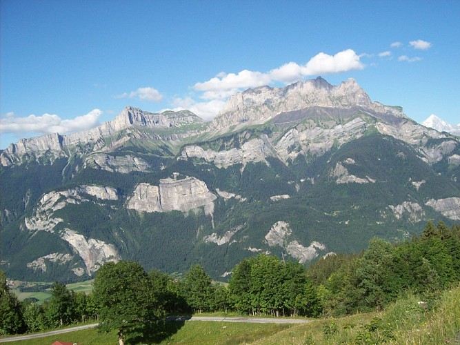
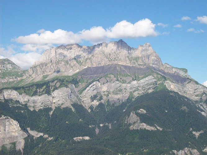
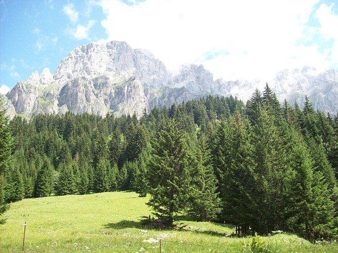
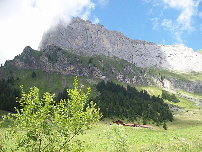
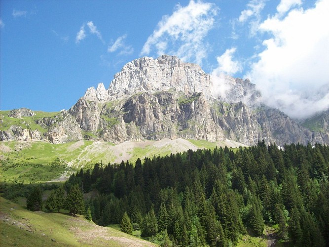
This extended version of a must-do hike follows a well-maintained, shady forest track. At the end, the Véran valley opens up before you, framed by the dramatic cliffs of Croix de Fer and its beautiful mountain pastures.
Starting from the Besseray car park in Saint-Martin, this hike gradually climbs towards the Véran mountain pastures. It begins along the semi-paved Crève-Cœur road, passing through the hamlets of Les Plagnes, Petit-Arvet and Grand-Arvet.
The climb then continues along a forest track winding its way up the mountainside. The trees provide welcome shade along the route, while several points of interest add to the experience, including the Sapin Président, an impressive tree well worth the short detour, especially with children.
After crossing the Crève-Cœur stream, the slope becomes slightly steeper for a short stretch before easing back into a more regular ascent. The track continues through the forest until a final clearing, where the Arpenaz stream announces your approach to the mountain pastures.
As you approach Véran, the mountain becomes a place of life and work too. Cows and sheep spend the summer here under the care of the alpine herders. The cows come down each day to be milked near the refuge, where butter, tomme, sérac, Abondance cheese and, depending on the year, raclette are made on site. These products are also available to buy here – the perfect opportunity to take home a little taste of the mountains!
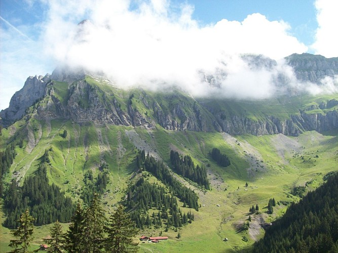
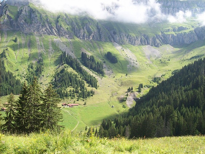
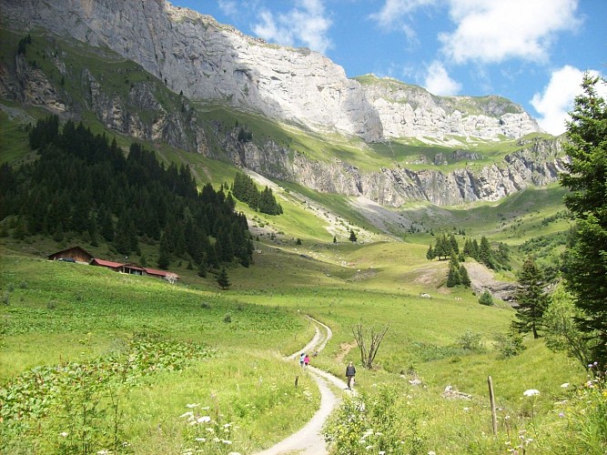
A few more steps and the Véran refuge comes into view, nestled in a beautiful mountain setting. Here, the forest finally gives way to open mountain pastures and the spectacular Véran valley, dominated by the cliffs of Croix de Fer.
Staffed during the summer season, the refuge makes a pleasant stop for hikers wishing to enjoy this beautiful mountain environment for a little longer, or even spend a night at altitude.
For those wishing to extend their hike, several routes also start from the Véran mountain pastures, including the Tête de Lassy and, for experienced hikers, the Cheminée de Monthieu and Tête du Colonney.
Technische Informationen
Höhenprofil
Datum und Uhrzeit
- Von 15/04/2027 bis 15/10/2027
Zusätzliche Informationen
Price(s)
Free access.
Updated by
Office de Tourisme de Sallanches - 15/10/2026
sallanchesmontblanc.com/
Report a problem
Contact
Phone : 04 50 58 04 25
Email : tourisme@sallanches.com
Website : https://sallanchesmontblanc.com/
Facebook : https://www.facebook.com/SallanchesMontBlanc
Guidebook with maps/step-by-step
Starting point: Besseray car park, Saint-Martin
Along with Mayères and Doran, this hike is one of the must-do routes in the Sallanches valley.
1. From the Besseray car park, take the semi-paved Crève-Cœur road, which climbs steadily towards Grand-Arvet. Allow around 1 hour 30 minutes for the climb to the upper car park.
2. The road passes through the hamlets of Les Plagnes and Petit-Arvet before reaching the chalets of Grand-Arvet. An upper car park is available for some vehicles, allowing you to shorten the route.
3. Continue along the forest track towards Véran. On your right, a trail leads to the Sapin Président, an impressive tree over 260 years old and 47 metres tall. A short detour that is particularly worthwhile with children!
4. Continue along the track as it winds through the forest and cross the bridge over the Crève-Cœur stream. The slope then becomes steeper for a few metres before easing back into a more regular ascent. Enjoy the welcome shade of the forest until you reach the final clearing.
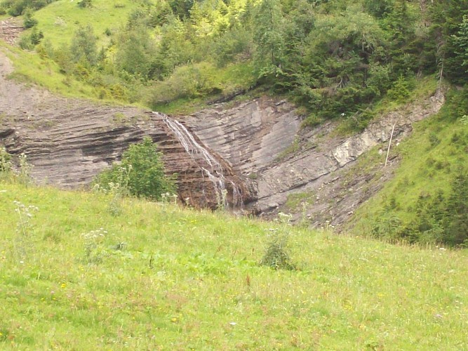
5. On leaving the forest, cross the Arpenaz stream, which forms the famous Arpenaz waterfall further below. A few metres further on, the landscape opens up and the Véran mountain pastures come into view, dominated by the impressive cliffs of Croix de Fer.
6. You reach the Véran CAF refuge, staffed during the summer season. The mountain pastures are still very much a place of life and work: cows and sheep spend the summer here under the care of the alpine herders. The cows come down each day to be milked near the refuge, where butter, tomme, sérac, Abondance cheese and sometimes raclette are made on site. These products are also available to buy.
7. From the mountain pastures, there are several options for extending your hike, including the Tête de Lassy, reached by a trail climbing up behind the refuge, or, for experienced hikers, the Cheminée de Monthieu and Tête du Colonney.
Reception complements
: Hike safely!
The walking time given is approximate and does not include breaks.
The route description/step-by-step guide provides general guidance but does not replace a 1:25,000 hiking map or other hiking guides available from our Tourist Office!
To help you prepare for your outing, the Tourist Office also provides a Hiker’s Charter and Good Practices, packed with useful advice and information to help you hike safely and respect the mountain environment. Don’t hesitate to ask for a copy at the reception desk!
Our Sallanches Mountain Guides & Accompanied Hiking Office also offers a wide range of guided outings led by mountain professionals, providing expert knowledge of the mountain environment. Please contact the Tourist Office for further information.
Finally, whatever your hike, check the weather forecast before setting off and adapt your route to the conditions on the day. Remember to bring the following in your backpack:
• enough water;
• a few snacks or cereal bars;
• sunglasses and sunscreen;
• a cap or hat;
• a small first-aid kit;
• clothing suitable for the season, your hike and the forecast weather conditions.
Mountain conditions can change quickly: stay safe, be properly equipped and make the most of your hike!
Tiere
Ja
Datenautor
