警报
警报
Dunes Fort
描述
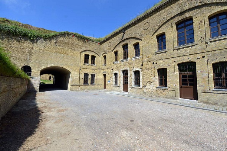
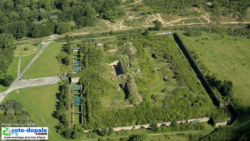
With its buildings hidden under the sand, the Fort des Dunes is a remarkable example of military architecture designed by General Séré de Rivières. It was built in 1878, at the same time as the so-called Zuydcoote battery, to protect Dunkirk and its port from any attack from the east.
Following the invention of new explosives, he quickly lost any strategic role and was therefore used in barracks, which can accommodate 450 soldiers.
During the Second World War, Fort des Dunes was at the heart of Operation Dynamo, which was the largest embarkation in history, allowing the evacuation of 338,000 Allied soldiers. A hundred soldiers perished there under intense German bombardment, including General Janssen, leader of the 12th Motorized Infantry Division. Other dramatic events took place during the war, including the execution of eight resistance fighters in 1944.
After the war, the fort experienced various fortunes and long years of abandonment before being bought by the City of Leffrinckoucke in 1998.
Superb witness to the military architecture of the nineteenth century, it is now intended to be a cultural and heritage site and a place of memory devoted to the Second World War
技术信息
高程剖面
数据作者
