警报
警报
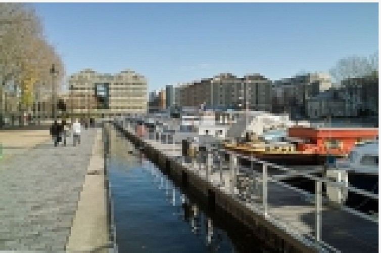
Pond of the Villette and the Port
描述
Around the site of canals developed, from the second quarter of the XIXth century, an intense activity of freight and harbour. In last half of the same century it was the support of a very important industrialization, in Paris as on the territory of the current Seine Saint-Denis. At the same time the harbour traffic of the Pond of the Villette was for its peak, and equivalent to that of the port of Bordeaux. This traffic of freight knew, in the course of the XXth century, bound important peaks, for the main part, about the activity of the BTP(BUILDING AND CIVIL ENGINEERING WORKS) after the big world conflicts. In constant diminution since the middle of the XXth century, this traffic, become no for the Pond of La Villette, came down at present for all the Parisian canals at its lowest historic level (around 1Mt in the year 2000).
