警报
警报
练习类型
山地自行车
中等
1h50mn
Presentation
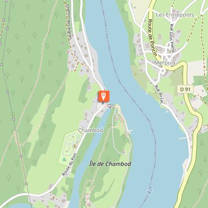
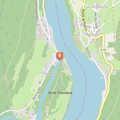
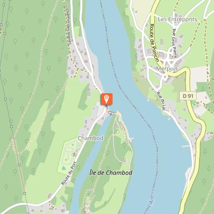
地图
兴趣点
评级和评论
周围的看点
Liaison VTT (L5) Ile Chambod - Corveissiat par Gd Corent, la route des crêtes
技术信息
山地自行车
难度
中等
持续时间
1h50mn
距离
18 km
练习类型
山地自行车
中等
1h50mn
显示更多信息
高程剖面
起点
Route du Port
,
01250
Hautecourt-Romanèche
Lat : 46.130099Lng : 5.430373
兴趣点


补充信息
Updated by
Bourg-en-Bresse Destinations - Office de tourisme - 01/06/2026
www.bourgenbressedestinations.fr
Report a problem
Environments
国内
森林位置
山景
5公里之外的河
Distinctions
已上市的PDIPR
MTB标签 - FFCT
Open period
全年 日常.
Contact
Phone : 04 74 22 49 40
Email : accueil@bourgenbressedestinations.fr
Website : https://www.bourgenbressedestinations.fr
Type of land
土壤
硬路面(沥青、水泥、木板)
砂砾
动物
是
数据作者

6 avenue Alsace Lorraine 01000 Bourg-en-Bresse France
评级和评论
周围的看点